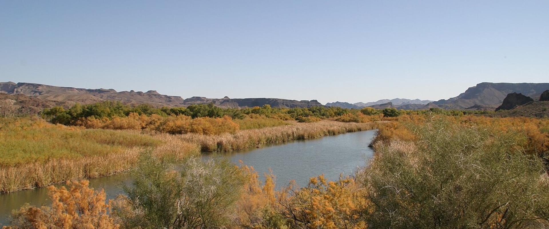
Bill Williams River National Wildlife Refuge
One of the last natural cottonwood-willow forests on the lower Colorado, where the Bill Williams River meets Lake Havasu
- Admission
- Free (USFWS, 2026).
- Hours
- Visitor center Monday-Friday 9 a.m.-4 p.m., closed federal holidays. Lands, roads and trai...
- Where
- Lake Havasu City, Lake Havasu & Colorado River
- Directions
- Directions
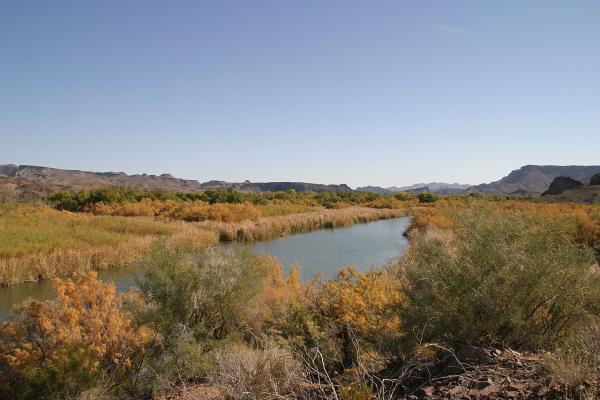
The Bill Williams River runs only about 40 miles, by the refuge's count, before it empties into the Colorado River at the southern end of Lake Havasu. Its last miles are protected by this refuge, which the US Fish and Wildlife Service describes as a glimpse of what the river country looked like hundreds of years ago. Spanish explorers came through as early as 1598 and wrote of thick stands of cottonwood and willow along the banks and mesquite above them. Most of those forests on the lower Colorado are gone. The refuge holds one of the last naturally regenerated cottonwood-willow stands, and it is a designated Globally Important Bird Area.
The land was first protected in 1941 as part of the Havasu Lake National Wildlife Refuge, and a large tract was added from The Nature Conservancy in 1977. On June 9, 1993, 6,100 acres were split off as a separate refuge because the habitat needed different management. The service says the refuge has kept nearly all the land animals found here before European settlement, including at least six federally listed threatened or endangered species.
Birds are the main attraction. Around the headquarters trails look for desert species such as Abert's towhee and verdin. The floodplain forest is nesting habitat for the endangered southwestern willow flycatcher and the threatened yellow-billed cuckoo, and the cattail marsh shelters the endangered Yuma Ridgway's rail. Waterfowl winter on the open lake, and desert bighorn sheep use the cliffs of the river canyon. Mornings and evenings are best.
Most visitors start at the visitor center on Highway 95, which has displays, a tortoise enclosure with a resident desert tortoise and a desert pupfish pond. The Peninsula Trail runs half a mile each way from there, the first quarter mile paved and accessible, past cabanas and three fishing piers. The Delta Loop Trail branches off to a ridge above the delta marsh. There is a non-motorized boat launch for kayaking the river channel, and an auto tour route shows post-fire restoration work on the floodplain. From October 1, 2026, a four-mile La Paz County 4x4 trail is open seasonally, October 1 to March 31, to registered off-highway vehicles and properly equipped high-clearance vehicles only.
Spring, fall and winter are the comfortable seasons. Bring water even in winter, and watch for the occasional rattlesnake.
Categories
More photos coming soon
Hours & Fees
- Open
- Visitor center Monday-Friday 9 a.m.-4 p.m., closed federal holidays. Lands, roads and trails: half an hour before sunrise to half an hour after sunset. Fishing piers: 24 hours (USFWS, 2026).
- Admission
- Free (USFWS, 2026).
Hours and prices change, especially out of season. Check with the venue before you go.
Nearby Attractions
Other places to visit in Lake Havasu City
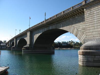
London Bridge
The granite face of London's 1831 bridge, shipped stone by stone and rebuilt over a desert channel
Free Architectural Landmarks · Historic Sites
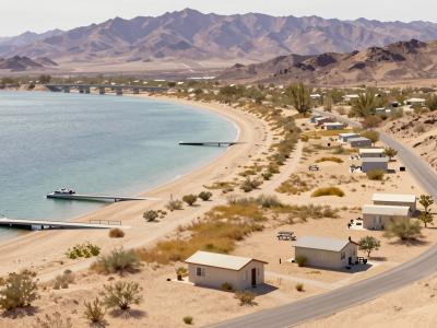
Lake Havasu State Park
Beaches, boat ramps and a desert shoreline trail at Windsor Beach, north of London Bridge
From $5 Outdoor Recreation · State Parks
Questions people ask
Quick Facts
Best Time to Visit
October to April for mild weather. The lake is busiest with boaters from March to September, when highs regularly pass 100°F and reach 110°F in midsummer.