
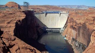
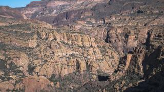
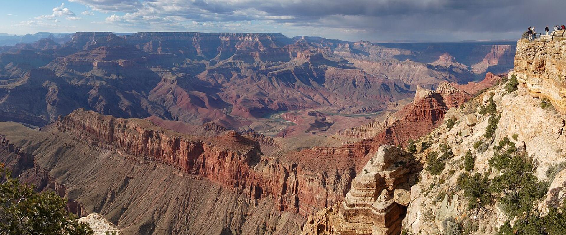
Arizona's best drives run along canyon rims, through saguaro forest and over the old highways that crossed the state before the interstates. Several of them are also seasonal, unpaved or, in November 2026, closed. This guide covers eight drives with their length, road surface and current status, so you can tell which ones fit your car and your dates.
Distances below were measured with OSRM unless an agency gives its own figure. Check az511.gov or call 511 for state highways, and the park's own conditions page for park roads, on the morning you drive.
At a glance
| Drive | Length | Surface | Status on November 6, 2026 |
|---|---|---|---|
| Desert View Drive, Grand Canyon | 23 mi / 37 km | Paved | Open all year unless snow closes it |
| Hermit Road, Grand Canyon | 7 mi / 11 km | Paved | Shuttle, bike and foot only until November 30 |
| Route 66, Seligman to Kingman | about 89 mi / 143 km | Paved | Open |
| SR 89A, Oak Creek Canyon | Sedona to Flagstaff, about 29 mi | Paved, switchbacks | Closed north of Slide Rock since the November 1 flood (Sedona to Slide Rock reopened November 6) |
| Apache Trail (SR 88) | Unpaved section east of Tortilla Flat | Dirt, primitive | Reopened after July 2026 storm damage; check before going |
| Monument Valley loop | 17 mi / 27 km | Dirt, deep sand in places | Open, winter hours |
| Catalina Highway to Mount Lemmon | about 39 mi / 62 km from downtown Tucson to Summerhaven | Paved | Open |
| Saguaro loop drives | 8 mi (east), 6 mi (west) | Paved (east), graded dirt (west) | Open |
Desert View Drive (Grand Canyon South Rim)
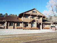
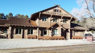
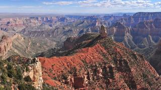
State Route 64 between Grand Canyon Village and Desert View is a 23-mile scenic road along the South Rim, and the park says it is open to all vehicles throughout the year unless temporarily closed by snow. It ends at the East Entrance, which is open 24 hours a day, and at the Desert View Watchtower. The tower's upper floors open from 9 a.m. to 5 p.m. when staffing allows, with a free ticket admitting 25 people at a time for 20 minutes; the last tickets go out at 3:40 p.m.
Allow at least half a day with stops. Desert View has a 24-hour card-only fuel pump, but its market, deli and trading post closed for the winter on October 19, 2026, and there is no lodging there. Grand Canyon entrance fees apply: $35 per private vehicle for seven days, cards only, plus $100 per non-US resident aged 16 and over unless the vehicle has an annual pass.
Hermit Road (Grand Canyon South Rim)
Hermit Road runs 7 miles west from the village historic district to Hermits Rest, past a string of overlooks. From March 1 to November 30 it is closed to private vehicles; the free Hermits Rest (Red) shuttle runs every 12 minutes from 8 a.m. to sunset, with a last bus an hour after sunset, and takes about 80 minutes round trip without getting off. Walkers and cyclists can use the road all year. Outside those dates, private cars may drive it.
Route 66: Seligman to Kingman
The Historic Route 66 Association of Arizona describes 250 miles of the old road across Arizona, from Lupton on the New Mexico line to Topock near California, and says the state has the longest remaining uninterrupted stretch of Route 66. The best-known section runs west from Seligman through Peach Springs to Kingman, about 89 miles (143 km) and two hours on the old road, against 74 miles on Interstate 40.
Start or end at the Arizona Route 66 Museum in Kingman. East of Seligman, Williams, a Route 66 town on I-40, is 43 miles away. 2026 is the road's centennial year.
SR 89A through Oak Creek Canyon (closed north of Slide Rock)
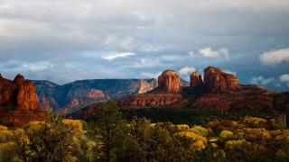
The road from Sedona north to Flagstaff follows Oak Creek up the canyon and climbs the rim on switchbacks. It has been closed since the floods of November 1, 2026. On November 3 it was the only highway in Arizona still shut, in both directions between Sedona and Kachina Village (mileposts 375 to 397), and AZ 511 still showed it closed on November 6. On November 6, 2026, ADOT reopened SR 89A from Sedona as far as Slide Rock State Park, but the highway north of the park to the Oak Creek Vista overlook stays closed with no reopening estimate, so there is still no through route to Flagstaff. Arizona State Parks said Slide Rock State Park would reopen on November 7, 2026.
Until it reopens, drive between Sedona and Flagstaff on SR 179 and Interstate 17, about 58 miles (93 km) and an hour and a quarter.
Apache Trail (SR 88)
The Apache Trail runs northeast from Apache Junction past the Lost Dutchman State Park and Tortilla Flat toward Roosevelt Dam. East of Tortilla Flat it becomes an unpaved, narrow mountain road.
Its recent history is a warning: a September 2019 storm left the unpaved section impassable for five years, and when ADOT reopened it in 2024 after about $4 million of work, its spokesperson described it as a primitive roadway suitable only for high-clearance four-wheel-drive vehicles and utility terrain vehicles. Monsoon storms in July 2026 closed it again; ADOT cleared rockfall and culverts and reopened it later that month. AZ 511 listed no closure on SR 88 on November 6, 2026. If you don't have a high-clearance 4x4, drive only the paved section to Tortilla Flat and turn back.
Monument Valley loop
The 17-mile loop in Monument Valley is a dirt road through the Navajo tribal park, with rough terrain and deep sand; motorcycles are not allowed, and Navajo Nation Parks and Recreation says it is not liable for damage to vehicles. Stay on the designated route. Winter hours from October 17 are 8 a.m. to 5 p.m., last entry 2:30 p.m., and the park closes on Thanksgiving and New Year's Day. The park page lists $10 per person per day and a $15 vehicle fee, while the tribe's general fee page says $8 per person, so confirm when you pay; national park passes are not accepted.
Ear of the Wind and other places off the loop are open only on guided tours with Navajo operators. Commercial photography and filming need a permit from Navajo Parks and Recreation; follow all posted rules.
Catalina Highway to Mount Lemmon
From Tanque Verde Road on Tucson's northeast side, the Catalina Highway climbs into the Santa Catalina Mountains to Summerhaven. From downtown Tucson the trip is about 39 miles (62 km) and an hour and 20 minutes each way. The road runs through the Coronado National Forest; the Forest Service's pages could not be checked for this guide, so look up current recreation fees and winter conditions on its site before you go.
Saguaro National Park loop drives
Both districts of Saguaro National Park have a loop drive:
- Cactus Forest Drive (east, Rincon Mountain District): an 8-mile paved loop with trailheads, viewpoints and pull-outs, but no parking for RVs and large vehicles.
- Bajada Loop Drive (west, Tucson Mountain District): a 6-mile graded dirt loop that the park says doesn't need high clearance or four-wheel drive. It starts at Hohokam Road, about 1.5 miles from the Red Hills Visitor Center.
Vehicles more than 8.5 feet wide, or 40 feet or longer with anything towed, are banned from both loops. Entry is $25 per private vehicle for seven days, valid in both districts.
More drives worth knowing
- Bonita Canyon Drive, Chiricahua National Park: 8 miles up to Massai Point through the park's balanced-rock pinnacles; no oversized vehicles or trailers. No entrance fee.
- US 89 and US 89A from Page to Jacob Lake: about 80 miles past Navajo Bridge, Marble Canyon and the Vermilion Cliffs, and the approach to the North Rim, which is open only through November 30, 2026.
Before you go
- Check az511.gov the morning you drive, especially for SR 89A and SR 88.
- Bring a card for the Grand Canyon; no cash is taken at its entrances.
- Take a high-clearance 4x4 or skip the unpaved Apache Trail.
- Start the Monument Valley loop early in winter; last entry is 2:30 p.m.
- Carry water and fill up before long scenic drives.
Details checked November 6, 2026.