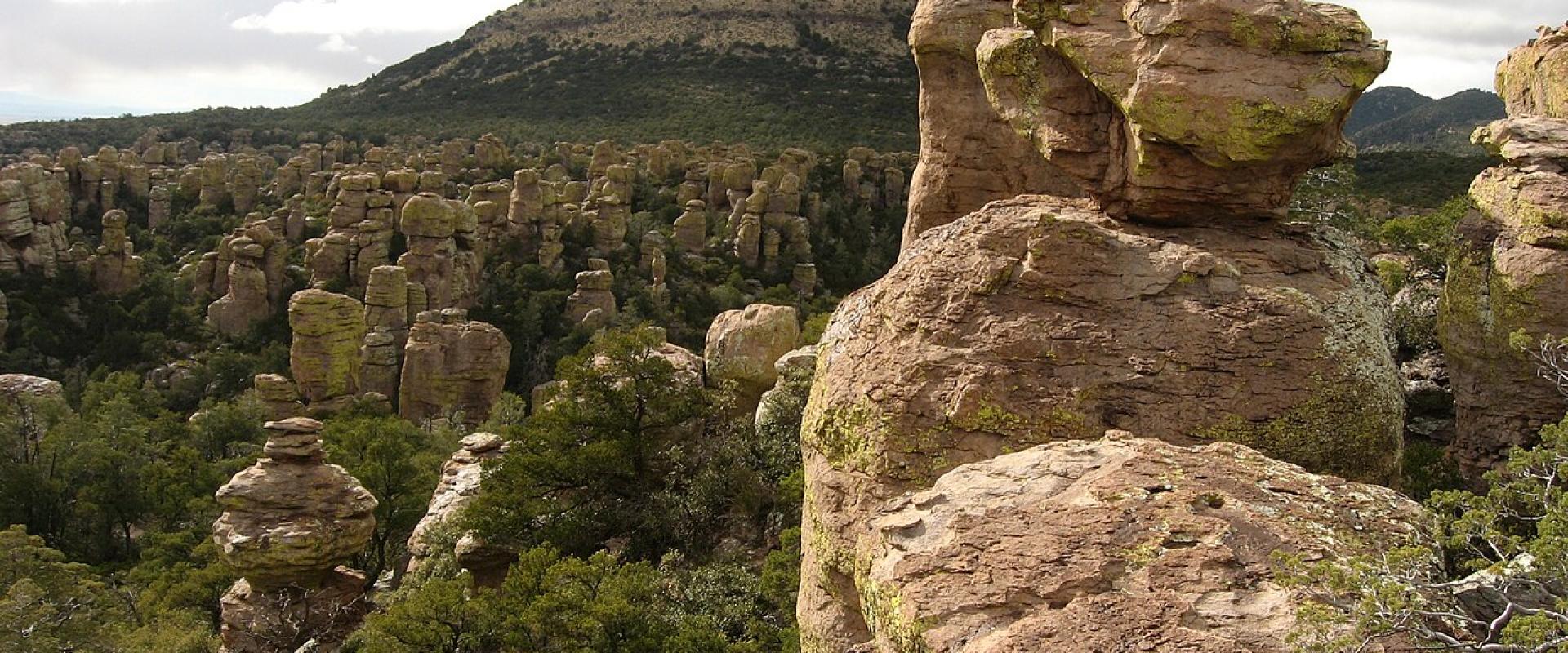
Tombstone & Bisbee
Silver and copper boomtowns, Apache Pass and the rock spires of the newest national park
- 4 destinations
- 12 attractions
About Tombstone & Bisbee
Cochise County in Arizona's southeastern corner: the silver town of Tombstone, the copper town of Bisbee, the sky-island mountains around Sierra Vista and Chiricahua National Park near Willcox.
Cochise County fills the southeastern corner of Arizona, and its history comes in layers. The Chiricahua Apache held these mountains and valleys into the 1880s. Spanish soldiers built the Presidio Santa Cruz de Terrenate beside the San Pedro River, and the U.S. Army followed with Fort Bowie at Apache Pass in 1862 and Camp Huachuca in 1877. Then came the mines. Ed Schieffelin filed his first silver claim, which he named Tombstone, in 1877, and the town that grew up on the mesa became the seat of the new Cochise County in 1881. Copper made Bisbee, in the Mule Mountains to the south, the bigger town, and by 1931 the county offices had moved there. The other reason to come is the land. Ranges such as the Huachucas and the Chiricahuas rise abruptly out of desert grassland, and The Nature Conservancy calls them "sky islands": this is where the Sierra Madre of Mexico, the Rocky Mountains and the Sonoran and Chihuahuan deserts meet. The birds show it. The San Pedro Riparian National Conservation Area east of Sierra Vista gives habitat to about 250 species of migrant and wintering birds, and Ramsey Canyon is known for hummingbirds. Chiricahua, protected as a national monument since 1924, became Chiricahua National Park in October 2026. Four towns work as bases. Tombstone and Bisbee are the history stops, about 23 miles apart on State Route 80. Sierra Vista, the largest city, grew up beside Fort Huachuca at the foot of the Huachuca Mountains, close to Ramsey Canyon, the San Pedro and Coronado National Memorial. Willcox, on Interstate 10, is the gateway to Chiricahua and Fort Bowie. By road, Tombstone is about 66 miles from Tucson International Airport and Willcox about 77. Visitor numbers at Chiricahua and Fort Bowie peak from February to April, with March the busiest month, and fall to their lowest in August. The summer monsoon, from mid-June to mid-September, brings thunderstorms that can cause flash floods. Arizona does not observe daylight saving time.Where to go in Tombstone & Bisbee
Tombstone & Bisbee
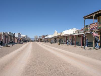
Tombstone
The 1880s silver town of the Earps, where the best-known sights are private businesses
Tombstone & Bisbee
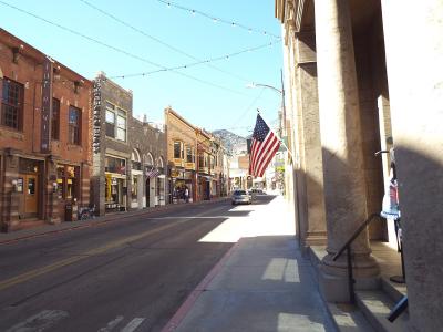
Bisbee
A copper town stacked up the canyons of the Mule Mountains, with a mine you can ride into
Tombstone & Bisbee
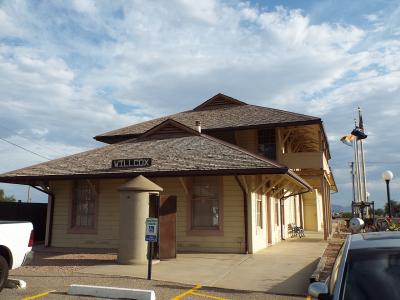
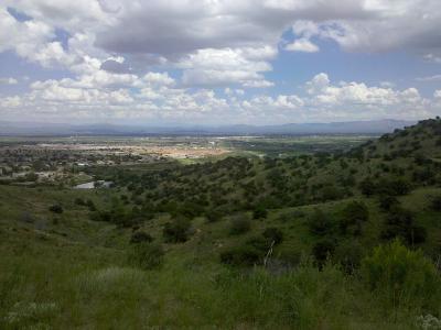
Willcox
A railroad and ranching town on Interstate 10, and the way in to Chiricahua and Fort Bowie
Tombstone & Bisbee
Sierra Vista
The Army town under the Huachuca Mountains, and the base for canyons, caves and the San Pedro
What to see
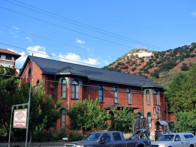
Bisbee · Museums
Bisbee Mining & Historical Museum
A Smithsonian Affiliate museum in the 1896 Phelps Dodge headquarters
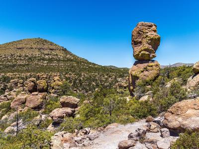
Willcox · National Parks
Chiricahua National Park
The 'Wonderland of Rocks', America's 64th national park since October 20, 2026
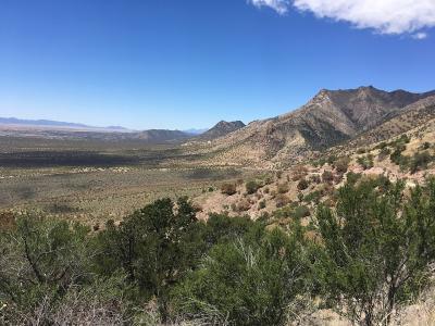
Sierra Vista · National Parks
Coronado National Memorial
Border-top views of the San Pedro Valley, a wild limestone cave and the start of the Arizona Trail
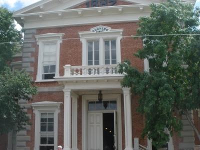
Tombstone · Historic Sites
Tombstone Courthouse State Historic Park
The 1882 Cochise County courthouse, Arizona's first operating state park
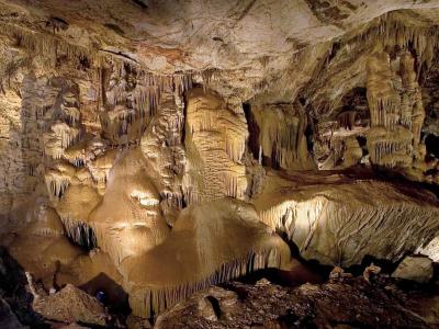
Sierra Vista · Natural Wonders
Kartchner Caverns State Park
A living limestone cave, kept secret for years and shown only on guided tours
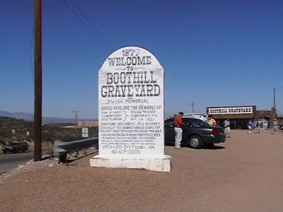
Tombstone · Historic Sites
Boothill Graveyard
Tombstone's 1879-1884 cemetery, where the men killed in the 1881 gunfight are buried
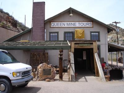
Bisbee · Historic Sites
Copper Queen Mine Tour
Hard hat, headlamp and a mine train 1,500 feet into the Copper Queen
Sierra Vista · Wildlife Viewing
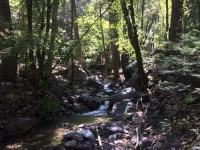
Ramsey Canyon Preserve
A cool, spring-fed canyon in the Huachucas, famous for hummingbirds
Willcox · Historic Sites
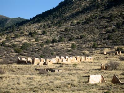
Fort Bowie National Historic Site
Adobe ruins at Apache Pass, reached on foot along a 3-mile trail through history
Quick Facts
Book your stay
Elsewhere in Arizona
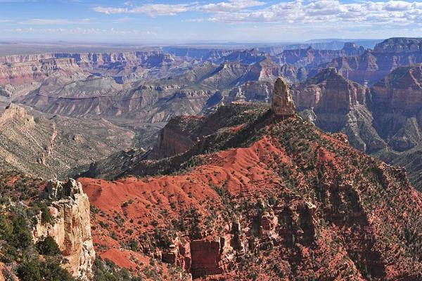
Grand Canyon & Kaibab Plateau
The South Rim and its gateway town, the forested plateau above the North Rim, and the Havasupai village at the bottom of a side canyon
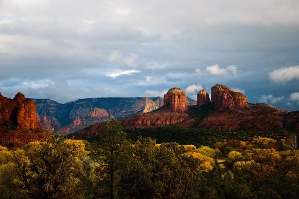
Sedona & Verde Valley
Red rock buttes, Sinagua cliff dwellings, a copper town on a hillside and Arizona's first capital
Page & Monument Valley
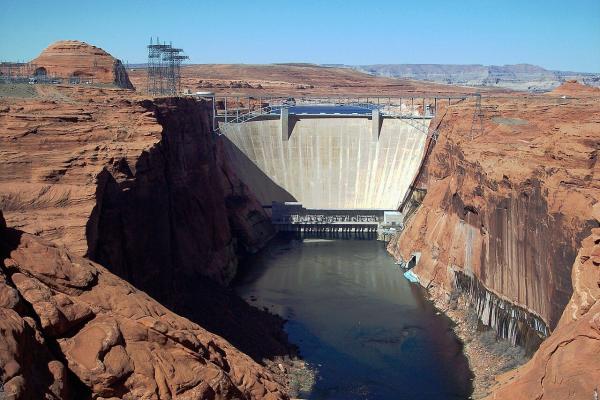
Glen Canyon, Lees Ferry and the Navajo Nation's canyons, cliff dwellings and buttes