Page
Dam town on Manson Mesa, gateway to Lake Powell, Horseshoe Bend and Antelope Canyon
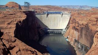
History Before the dam there was no town here. When Congress authorized the Colorado River Storage Project in 1956, the Bureau of Reclamation had to build a camp in empty country to house the crews. The first dynamite blast in Glen Canyon went off on October 15, 1956, when President Eisenhower pressed a telegraph key in Washington. The camp went up in 1957 and the Glen Canyon Bridge, which carries US 89 across the river beside the dam, was finished in January 1959. Before the bridge, crossing the river meant a trip of about 200 miles. Concrete pouring ran around the clock until September 13, 1963. The dam was dedicated on September 22, 1966. Reclamation managed the town until 1974 legislation allowed it to incorporate. The second big industrial neighbor, the coal-fired Navajo Generating Station east of town, shut down in 2019, and its three smokestacks were demolished on December 18, 2020.
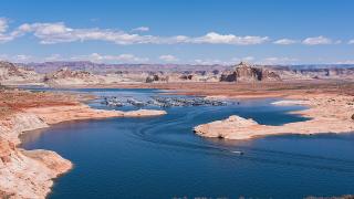
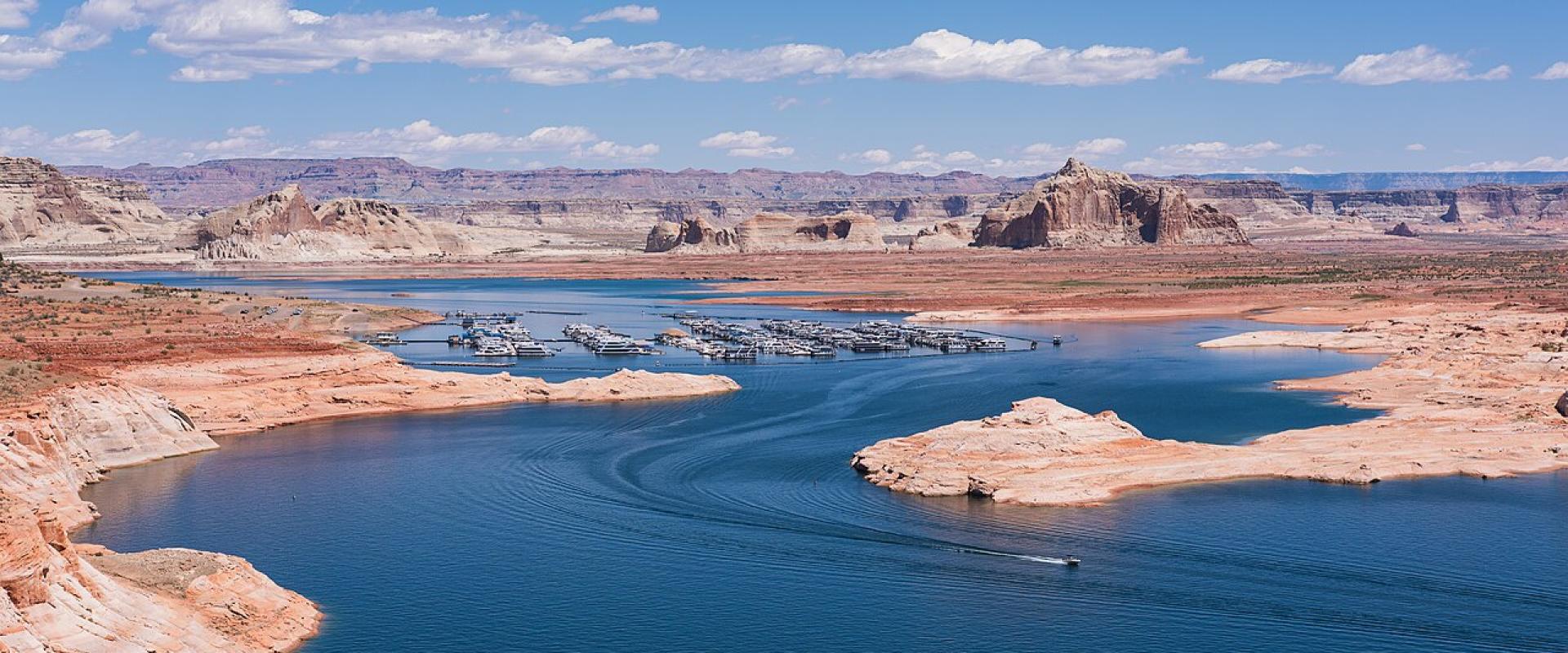
What to See Horseshoe Bend is the most visited sight. A 1.5-mile round-trip path leads to an overlook above a 270-degree bend in the Colorado River, about 1,000 feet below. Glen Canyon Dam is on the north edge of town, and the Carl Hayden Visitor Center stands beside it. Lake Powell's Wahweap Marina and its overlooks are a few miles north, inside Glen Canyon National Recreation Area. On the Navajo side, Upper and Lower Antelope Canyon are slot canyons that you can only enter with a Navajo guide. Lees Ferry and Navajo Bridge are 42 miles southwest by road, and they make an easy half-day trip.
Fees and Passes Three different landowners collect fees here, so it helps to know which is which. Glen Canyon National Recreation Area charges $30 per private vehicle for seven days. Its entrance stations are cashless and take cards only. The America the Beautiful pass is accepted. The Horseshoe Bend parking lot belongs to the City of Page, which charges its own fee, and federal passes don't cover it. Antelope Canyon is run by the Navajo Nation. It charges $15 per person per canyon per day on top of the tour price, and national park passes are not accepted on Navajo land.
Time Zones Page follows Arizona time and does not change its clocks. The Navajo Nation, including Antelope Canyon and LeChee, does use daylight saving time. From March to November it is an hour ahead of Page. Check which time your Antelope Canyon ticket uses. In winter, the two agree.
Getting There Page is on US 89, with State Route 98 heading east into the Navajo Nation. By road it is about 137 miles from Flagstaff and about 141 miles from Grand Canyon Village. Kayenta, the gateway to Monument Valley, is about 103 miles east. Page Municipal Airport has scheduled service.
When to Go Glen Canyon National Recreation Area is busiest in June and July. Park Service figures for 2023 to 2025 show those two months alone bringing about a quarter of the year's visits, and December to February are the quietest. Summer is also the hardest time for the Horseshoe Bend walk, which has almost no shade. The Park Service advises skipping the hottest part of the day. For the slot canyons, the Navajo Nation says flash floods are most likely during the July-to-September monsoon, though they can happen in any month.
Best time to visit
April to June and September to October. Glen Canyon visits peak in June and July, when summer heat is hard on the exposed Horseshoe Bend trail. Flash floods in the slot canyons are most likely from July to September.
What to see in Page
Our picks first.
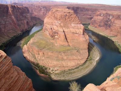
Horseshoe Bend
An overlook 1,000 feet above a 270-degree bend of the Colorado River, a short walk from US 89
Natural Wonders · Hiking Trails
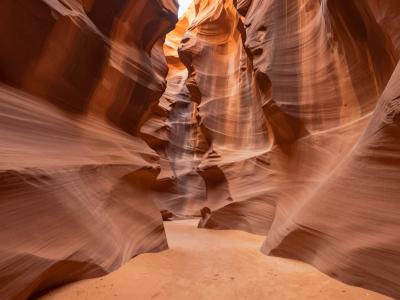
Upper Antelope Canyon
A Navajo slot canyon near Page, wider at the bottom, entered only with a Navajo guide
From $15 Natural Wonders · Native American Heritage
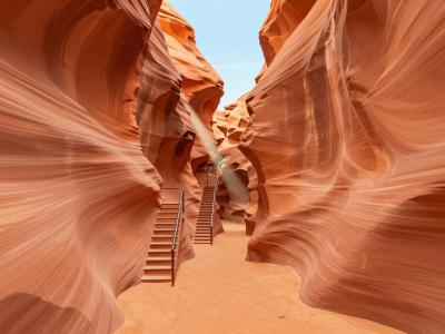
Lower Antelope Canyon
The narrow, stair-laced Navajo slot canyon near Page, visited only on guided tours
From $15 Natural Wonders · Native American Heritage
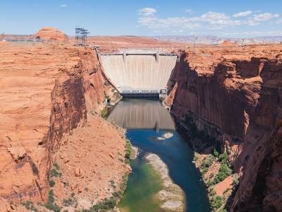
Glen Canyon Dam
A 710-foot concrete arch dam that created Lake Powell and gave the town of Page its start
Architectural Landmarks · National Parks
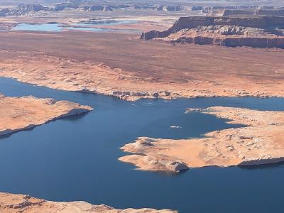
Wahweap and Lake Powell
Lake Powell's south end near Page, with a marina, boat tours and shorelines changed by low water
From $15 National Parks · Outdoor Recreation
Page by interest
The same sights, grouped by what you came for.
Did you know?
Checked facts about Page, each with its source.
-
Name Origin
Page began in 1957 as a dam workers' camp
Page was planned in 1957 as a temporary camp for the workers building Glen Canyon Dam. It is named for John C. Page, a Commissioner of the Bureau of Reclamation in the 1930s, and only became an incorporated city in March 1975.
Source: City of Page -
History
Lady Bird Johnson dedicated the 710-foot Glen Canyon Dam
Glen Canyon Dam rose to 710 feet, nearly as tall as Hoover Dam. First Lady Lady Bird Johnson dedicated it on September 22, 1966, more than three years after Lake Powell began filling.
Source: U.S. Bureau of Reclamation -
History
Three 775-foot smokestacks near Page were demolished in 2020
The three 775-foot stacks of the Navajo Generating Station defined the skyline near Page for decades. They were brought down with explosives in December 2020, about a year after the coal plant closed.
Source: KNAU Arizona Public Radio
Planning a visit to Page
Good to know
- Currency
- USD
- Language
- English
Quick Facts
Book your stay
Questions people ask
More places in Page & Monument Valley
Page & Monument Valley
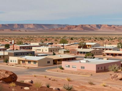
Kayenta
Navajo Nation township at the junction for Monument Valley and Navajo National Monument
Page & Monument Valley
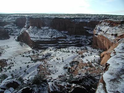
Chinle
Navajo town at the mouth of Canyon de Chelly, where families still farm the canyon floor
Page & Monument Valley
Marble Canyon
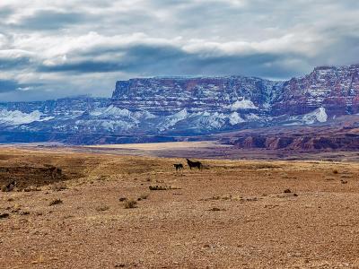
A roadside hamlet at Navajo Bridge, beside Lees Ferry and below the Vermilion Cliffs
Page & Monument Valley
Window Rock
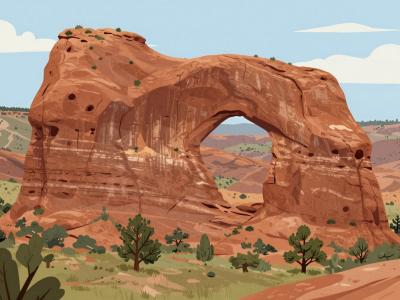
Capital of the Navajo Nation, named for a sandstone arch above the council chamber