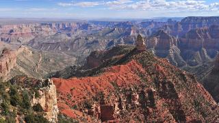
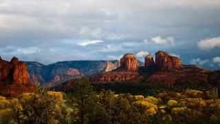
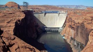
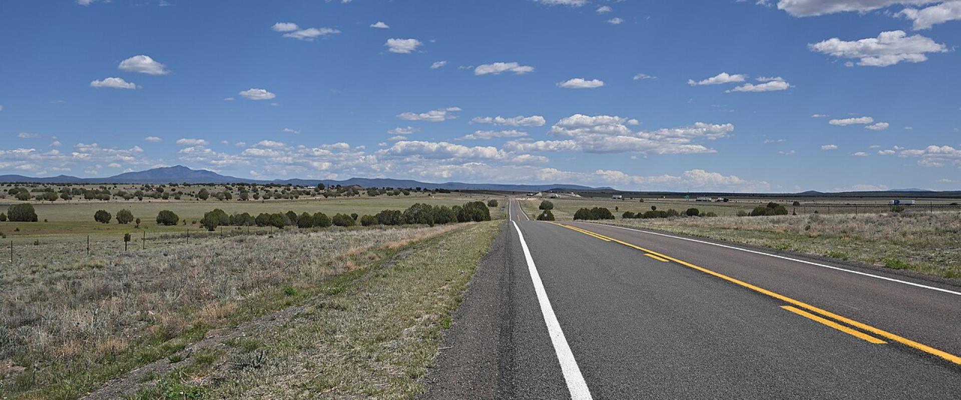
A rental car is the normal way to see Arizona. The distances are long but the main roads are good, and a car is the only practical way to link the Grand Canyon, the Navajo Nation, Sedona and the southeast's small towns. What catches people out is not the interstates but the gaps between them: stretches with no fuel, rough dirt loops in tribal parks, summer heat and flash floods, and the occasional highway that closes for weeks.
This guide covers where to pick up a car, the drive times for the classic loops, and the roads that need extra care, as of November 2026.
Picking up a car
At Phoenix Sky Harbor, more than ten rental companies share the Rental Car Center, which the free PHX Sky Train links with both terminals 24 hours a day. If you start in one city and finish in another, for example Las Vegas to Phoenix by way of the Grand Canyon, compare the one-way price with a return trip before you book.
Before you leave the lot:
- Ask whether the rental contract allows driving on unpaved roads, and on which ones. Monument Valley's loop and the Apache Trail are dirt; several other sights are reached by gravel.
- Check that you have a card for park entrances. Grand Canyon, Organ Pipe Cactus and Petrified Forest don't take cash at their gates.
- Load offline maps before long rural drives. The National Park Service app lets you download Grand Canyon maps for offline use, which the park recommends for remote areas.
Classic road trips
Distances were measured with OSRM along the fastest route. Times are driving only; add stops, viewpoints and fuel.
Northern loop: Phoenix, Sedona, Grand Canyon, Page, Monument Valley
| Leg | Distance | Time |
|---|---|---|
| Phoenix to Sedona (I-17, SR 179) | 116 mi / 186 km | 2 h 15 min |
| Sedona to Flagstaff (SR 179, I-17; SR 89A closed) | 58 mi / 93 km | 1 h 15 min |
| Flagstaff to Grand Canyon Village | 87 mi / 140 km | 1 h 50 min |
| Grand Canyon Village to Page (Desert View Drive, SR 64, US 89) | 139 mi / 223 km | 3 h 5 min |
| Page to Kayenta | 100 mi / 160 km | 2 h |
| Kayenta to Monument Valley visitor center | 27 mi / 44 km | 45 min |
| Monument Valley to Flagstaff (US 163, US 160, US 89) | 177 mi / 285 km | 3 h 50 min |
| Flagstaff to Phoenix (I-17) | 144 mi / 231 km | 2 h 35 min |
That is about 850 miles (1,370 km) and some 17½ hours of driving, so allow at least a week. The SR 89A shortcut between Sedona and Flagstaff through Oak Creek Canyon was closed by flooding on November 1, 2026; check az511.gov before you go.
Southern loop: Tucson, Tombstone, Bisbee, Chiricahua
| Leg | Distance | Time |
|---|---|---|
| Phoenix to Tucson (I-10) | 113 mi / 182 km | 2 h |
| Tucson to Tombstone | 72 mi / 115 km | 1 h 30 min |
| Tombstone to Bisbee (SR 80) | 23 mi / 37 km | 30 min |
| Bisbee to Chiricahua National Park visitor center | 74 mi / 119 km | 2 h |
| Chiricahua to Tucson | 120 mi / 193 km | 2 h 20 min |
Route 66 west: Kingman to Williams
The Historic Route 66 Association of Arizona describes 250 miles of the old road across the state, from Lupton on the New Mexico line to Topock near California, including the longest remaining uninterrupted stretch of Route 66. Following the old road from Kingman through Peach Springs to Seligman is about 89 miles (143 km), roughly two hours; Interstate 40 does the same trip in 74 miles. From Seligman, Williams is about 43 miles east on I-40. The Arizona Route 66 Museum in Kingman is a good start, and 2026 is the road's centennial year.
Fuel and supplies
The rule on the Colorado Plateau is to fill up whenever you can. Specific gaps in November 2026:
- North Rim: there is no fuel at the rim this season. The park points drivers to Jacob Lake and the North Rim Country Store. From Page to Jacob Lake is about 81 miles, and Jacob Lake to the rim another 44.
- North Rim water: the park says no water is available on the North Rim during the 2026 season.
- Desert View: the pay-at-the-pump station at the South Rim's east entrance takes cards 24 hours, but the market and deli there closed for the winter on October 19.
- South Rim water: Stage 4 water restrictions were still in force in November. Bring your own drinking water.
- Desert parks: Saguaro National Park tells hikers to carry at least a gallon of water per person per day. Keep extra water in the car in summer: the National Weather Service warns that parts of US 89 north of Flagstaff regularly see temperatures near or above 100°F.
Dirt roads and rough loops
Monument Valley loop. The 17-mile loop drive has reopened, and entry is first come, first served. Navajo Nation Parks and Recreation does not allow motorcycles because of the rough terrain and deep sand, tells drivers to stay on the designated route, and says it is not liable for damage to vehicles. Winter hours, from October 17, are 8 a.m. to 5 p.m. for the scenic drive, with last entry at 2:30 p.m.; the park closes on Thanksgiving (November 26) and New Year's Day. The park page lists an entry fee of $10 per person per day and a $15 vehicle fee, while the tribe's general fee page shows $8 per person, per location, so confirm the price when you pay. Places such as Ear of the Wind are only open on guided tours with Navajo operators, and Navajo Nation Parks does not accept the National Park Pass.
Apache Trail (SR 88). East of Tortilla Flat, the Apache Trail toward Roosevelt Dam is unpaved. After a 2019 storm closed it for about five years, ADOT reopened it in 2024 as a primitive road that its spokesperson said is suitable only for high-clearance four-wheel-drive vehicles and utility terrain vehicles. Monsoon storms closed it again in July 2026, and ADOT reopened it after repairs that month. See our scenic drives guide.
Saguaro's Bajada Loop. The 6-mile loop in the Tucson Mountain District is graded dirt that the park says doesn't need high clearance or four-wheel drive.
Tuweep (Grand Canyon). The remote Tuweep area west of the North Rim needs a permit reserved in advance.
Weather on the road
- Flash floods: the National Weather Service says never to drive into a flooded road, because you can't tell how deep the water is. The November 1, 2026 storm closed I-17, SR 87, SR 288 and SR 264 for extended periods, and SR 89A was still closed five days later.
- Monsoon: June 15 to September 30. In northern Arizona, flash floods are the main danger.
- Dust storms: see the "Pull Aside, Stay Alive" steps in our winter driving and road conditions guide.
- Snow: I-17, I-40 and the Grand Canyon roads see snow and ice in winter, and SR 67 to the North Rim closes from December 1.
Time and borders
Arizona stays on Mountain Standard Time all year; the Navajo Nation observes daylight saving time and runs an hour ahead of the rest of the state from March 14, 2027 until November. Rules on tribal land are set by each nation. Navajo Nation Parks and Recreation says areas of the Navajo Nation are closed to non-Navajos without a valid pass or permit, hiking needs a Backcountry Use Permit, and pets are not allowed in its parks. The National Weather Service adds that US 191 across the Navajo Nation has sharp curves and little or no shoulder in many places and gets heavy mountain snow in winter.
Before you go
- Confirm what your rental contract says about unpaved roads.
- Fill up at Jacob Lake before the North Rim, and at every town on the Navajo Nation.
- Carry water, a card and an offline map.
- Check az511.gov or call 511 for closures on SR 89A, SR 88 and SR 67.
- Plan the Monument Valley loop for the morning in winter; last entry is 2:30 p.m.
Details checked November 6, 2026.