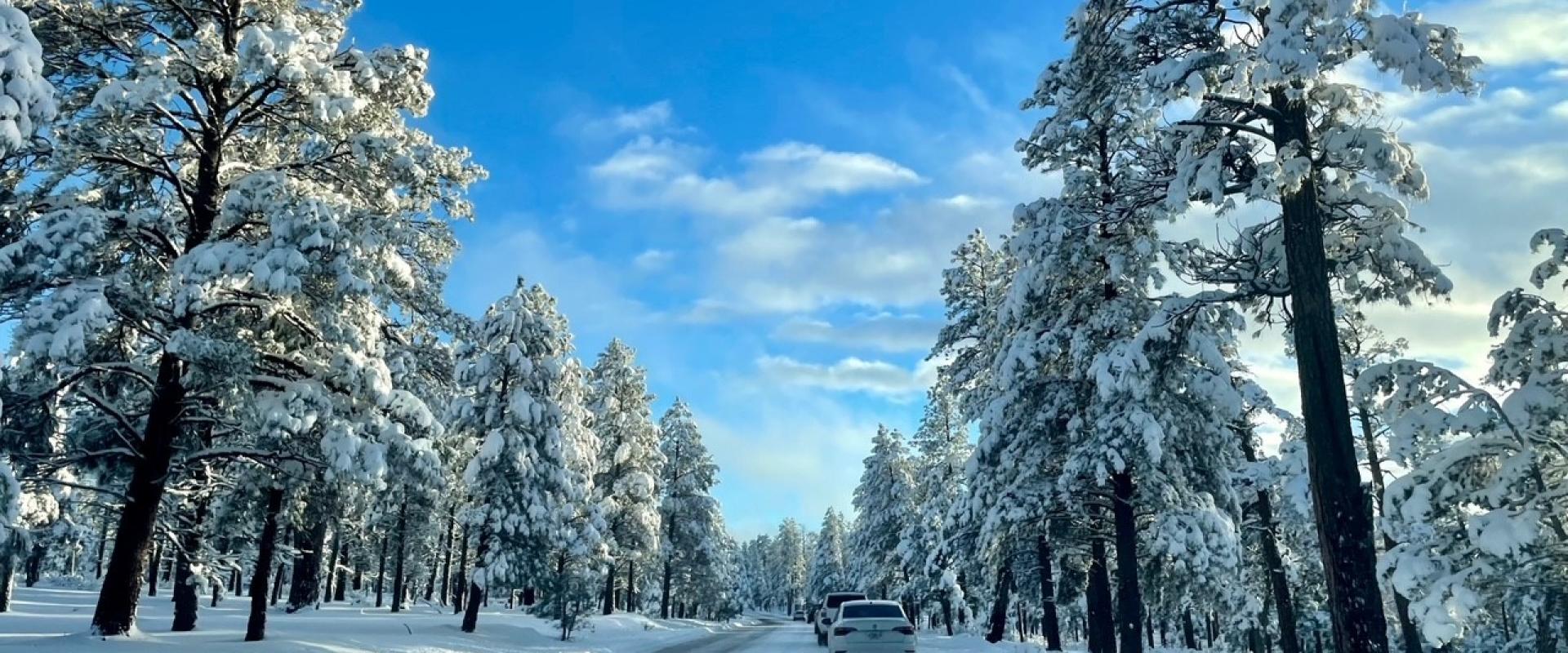
Arizona's roads change with altitude more than with the calendar. In a single morning on Interstate 17 you can leave Phoenix in sunshine and meet snow and ice near Flagstaff, and in summer the hazards switch to dust storms, flash floods and extreme heat. Most closures are short, but some last weeks: on November 6, 2026, State Route 89A through Oak Creek Canyon had been shut by flood damage for five days.
This guide explains where winter weather hits, which roads close for the season, how to check conditions, and what ADOT tells drivers to do in a dust storm.
Check before you drive: AZ 511
ADOT's traveller information service is az511.gov, with a map of closures, incidents and roadworks, traffic cameras and a phone service on 511. Check it the evening before and again before you set off on any mountain road. On November 6, 2026 it listed SR 89A closed northbound near Wilson Canyon Road (milepost 375), just north of Sedona, and southbound near milepost 390, both since November 1.
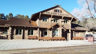
For the national parks, use the park's own pages too: the Grand Canyon publishes road and weather conditions and a daily list of what is open on the South Rim.
Where winter hits
The National Weather Service office in Flagstaff describes the main highways like this:
| Road | What to expect in winter |
|---|---|
| Interstate 17 (Phoenix to Flagstaff) | Climbs from about 1,000 to 7,000 feet, so conditions vary widely; snow and ice on the high ground, sun near Phoenix |
| Interstate 40 (across northern Arizona) | Reaches its highest point in the United States just west of Flagstaff; snow and ice are common in winter |
| US 89 (Flagstaff to Page and Utah) | Rarely below 4,000 feet, so much of it can be hit by snow and ice in a storm |
| US 191 (through the Navajo Nation) | Heavy mountain snow; sharp curves and little or no shoulder in many places |
| State Route 64 (to the Grand Canyon) | Sections inside the park close often because of snow |
| US 180 (Flagstaff to SR 64 at Valle) | Extra traffic after snow on the San Francisco Peaks, because it is the ski area road |
Flagstaff Pulliam Airport averages 90.1 inches of snow between October and May, and the record for 24 hours there is 35.9 inches. If you are driving between Phoenix and the Grand Canyon from November to April, assume you may meet snow on the high sections of I-17, on I-40 around Flagstaff and on SR 64.
Seasonal closures
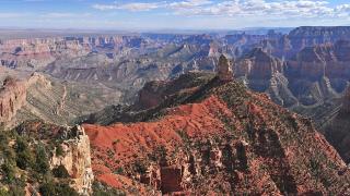
- State Route 67 to the North Rim. The National Park Service says the North Rim and SR 67 are always closed to all vehicles between December 1 and May 14. In 2026 the North Rim is open through November 30 or the first major snowstorm, whichever comes first. There is no fuel at the rim this season; fill up at Jacob Lake.
- North Rim viewpoints. Cape Royal and Point Imperial are reached only by the North Rim road system, so they go out of reach when SR 67 closes. The Cape Royal and Point Imperial roads reopened on November 3, 2026, but the park's North Rim status page lists sections of the Ken Patrick Trail near both as closed.
- Hermit Road on the South Rim is closed to private vehicles from March 1 to November 30, so it is open to cars only from December through February.
- Desert View Drive and the Grand Canyon's East Entrance are open all year, 24 hours a day, unless temporarily closed by snow.
- Monument Valley keeps winter hours from October 17: the scenic drive runs 8 a.m. to 5 p.m. with last entry at 2:30 p.m., and the park closes on Thanksgiving and New Year's Day.
The November 2026 floods
Heavy rain on November 1, 2026 caused flash flooding and rockfalls across Arizona. Interstate 17, SR 87, SR 288 and SR 264 were shut for extended periods, the Governor issued a statewide emergency declaration, and Sedona declared a local emergency. By November 3 every highway had reopened except SR 89A between Sedona and Kachina Village (mileposts 375 to 397). On November 6, 2026, ADOT reopened SR 89A from Sedona as far as Slide Rock State Park, but the highway north of the park to the Oak Creek Vista overlook stays closed with no reopening estimate, so there is still no through route to Flagstaff.
What this means for a trip:
- Flagstaff to Sedona is about 58 miles (93 km) by I-17 and SR 179 instead of 29 miles through the canyon; allow about an hour and a quarter.
- Arizona State Parks said Slide Rock State Park would reopen on November 7, 2026. Red Rock State Park is still closed after flood damage to its roads, parking and trails, with no reopening date.
- Check az511.gov before planning anything in Oak Creek Canyon.
Dust storms: Pull Aside, Stay Alive
ADOT warns that dust storms can cut visibility to near zero in seconds. The NWS adds that blowing dust is common near Winslow and Holbrook in the warmer seasons. ADOT's "Pull Aside, Stay Alive" advice is:
- Avoid driving into or through a dust storm.
- Check the traffic around your vehicle and slow down.
- Exit the roadway completely if you can; don't stop in a travel or emergency lane.
- Turn off all vehicle lights, including emergency flashers.
- Take your foot off the brake and set the emergency brake.
- Stay in your vehicle with your seat belt buckled.
- Wait for the dust to clear.
ADOT's flyer recalls a 2013 chain-reaction crash on Interstate 10 between Phoenix and Tucson involving six semi-trucks and 13 other vehicles, in which low visibility from dust was a factor.
Monsoon and flash floods
The monsoon officially runs from June 15 to September 30. In northern Arizona, flash flooding is its biggest danger, and the NWS lists blowing dust, debris flows and burn-scar floods among the threats.
- Never drive into a flooded road: the NWS says it is nearly impossible to judge the depth of water flowing over it, and officials warned after the November floods that a few inches of water can sweep a vehicle away.
- On US 160 across the Navajo Nation, the NWS singles out flash floods as a hazard to the road itself.
- Stay informed of forecasts and warnings, and know how a warning would reach you (phone, social media or a weather radio), as the NWS advises for monsoon season.
Heat
Summer heat is a road hazard in its own right. Carry more water than you think you need; the NWS warns that parts of US 89 regularly see temperatures near or above 100°F, and Saguaro National Park tells hikers to carry at least a gallon per person per day.
Winter driving checklist
- Check az511.gov or call 511 the night before and the morning of the drive.
- Fill the tank in Flagstaff, Williams or Jacob Lake before heading north.
- Carry water, snacks, warm layers and a blanket, even on a day trip from Phoenix.
- Allow extra time on I-17 and I-40 near Flagstaff after a storm.
- Plan Grand Canyon days around daylight: SR 64 inside the park closes often for snow.
- In a dust storm, pull off, lights off, foot off the brake.
Details checked November 6, 2026.