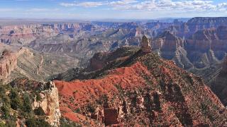
Page & Monument Valley
Glen Canyon, Lees Ferry and the Navajo Nation's canyons, cliff dwellings and buttes
- 5 destinations
- 17 attractions
About Page & Monument Valley
Arizona's far northeast, from Lake Powell and Lees Ferry on the Colorado River across the Navajo Nation to Monument Valley, Canyon de Chelly and Window Rock.
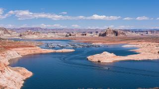
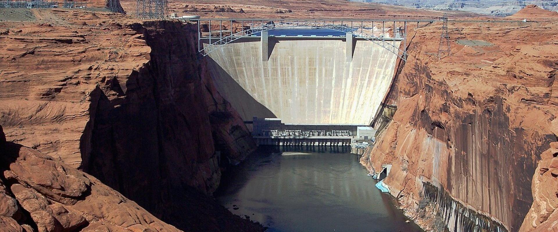
This region covers the top right corner of Arizona, and most of it is the Navajo Nation. Its western edge is the Colorado River. Glen Canyon Dam, finished in the 1960s, holds back Lake Powell above the town of Page, and below the dam the river runs 16 miles to Lees Ferry, where Grand Canyon river trips begin. That western strip is federal land: Glen Canyon National Recreation Area, with Horseshoe Bend and the lake, and the Bureau of Land Management's Vermilion Cliffs National Monument beyond Marble Canyon. East of Page you are on tribal land, and the rules change. Antelope Canyon and Monument Valley are Navajo tribal parks, not national parks. National park passes are not accepted. Antelope Canyon can only be entered with a Navajo guide. Drones are banned and confiscated, and climbing and alcohol are banned too. Most hiking needs a permit, and you should ask before you photograph anyone. Three National Park Service sites sit inside the Navajo Nation as well. Navajo National Monument protects the cliff villages of Betatakin and Keet Seel. Canyon de Chelly, near Chinle, has about 40 Navajo families living inside its boundary. Hubbell Trading Post in Ganado has been trading since 1878. Window Rock, the Navajo Nation's capital, is near the New Mexico line. Clocks are the other trap. Arizona does not use daylight saving time, but the Navajo Nation does. From March to November, Kayenta, Chinle, Window Rock and the park sites on the reservation run one hour ahead of Page and Flagstaff. The clocks match from early November until March 14, 2027. Check which time your tour ticket uses. Distances are long. By road, Page to Kayenta is about 103 miles, Kayenta to Chinle about 68, and Chinle to Window Rock about 67. The parks say GPS and phone signal are unreliable across the Navajo Nation, so stay on paved roads and carry a road map. Visits to Glen Canyon peak in June and July. Navajo National Monument is busiest in September. Flash floods are most likely from July to September.Where to go in Page & Monument Valley
Page & Monument Valley
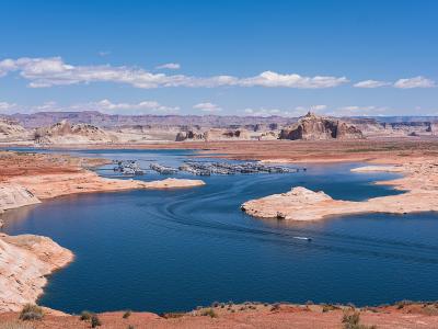
Page
Dam town on Manson Mesa, gateway to Lake Powell, Horseshoe Bend and Antelope Canyon
Page & Monument Valley
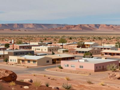
Kayenta
Navajo Nation township at the junction for Monument Valley and Navajo National Monument
Page & Monument Valley
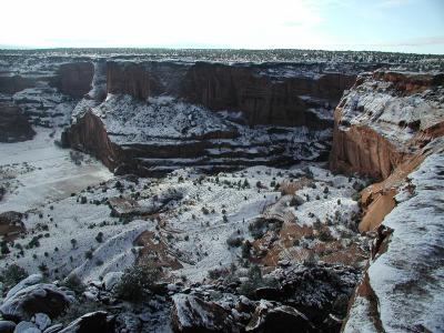
Chinle
Navajo town at the mouth of Canyon de Chelly, where families still farm the canyon floor
Page & Monument Valley
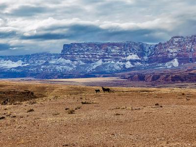
Marble Canyon
A roadside hamlet at Navajo Bridge, beside Lees Ferry and below the Vermilion Cliffs
Page & Monument Valley
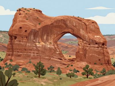
Window Rock
Capital of the Navajo Nation, named for a sandstone arch above the council chamber
What to see
Chinle · National Parks
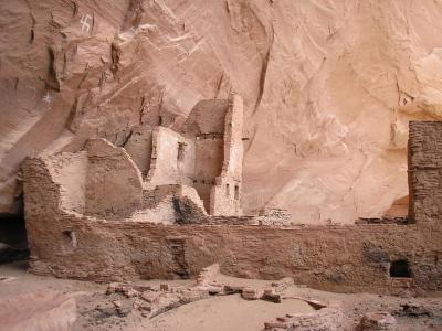
Antelope House Overlook
North Rim view down to a canyon-floor village named for its painted antelope
Kayenta · Historic Sites
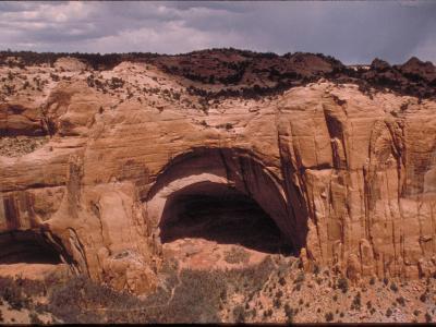
Betatakin, Navajo National Monument
A 13th-century cliff village in a vast sandstone alcove, seen from a rim trail or on summer ranger hikes
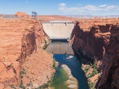
Page · Architectural Landmarks
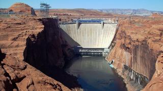
Glen Canyon Dam
A 710-foot concrete arch dam that created Lake Powell and gave the town of Page its start
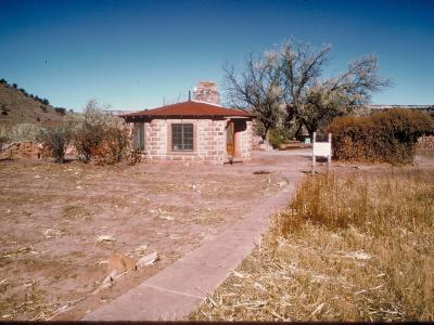
Window Rock · Historic Sites
Hubbell Trading Post National Historic Site
The oldest operating trading post on the Navajo Nation, still buying rugs and selling groceries in Ganado
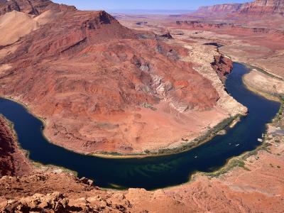
Marble Canyon · Historic Sites
Lees Ferry
The old Colorado River crossing where Grand Canyon river trips begin, with a pioneer ranch nearby
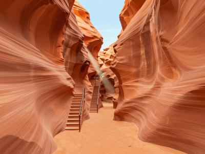
Page · Natural Wonders
Lower Antelope Canyon
The narrow, stair-laced Navajo slot canyon near Page, visited only on guided tours
Kayenta · National Parks
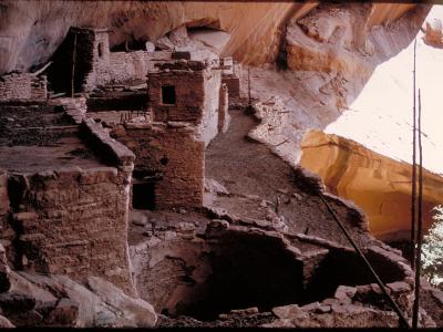
Keet Seel
Arizona's largest Ancestral Puebloan cliff village, reached only on rare ranger-led overnight trips
Marble Canyon · Architectural Landmarks
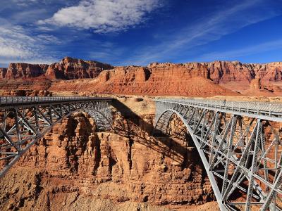
Navajo Bridge
Twin steel arches 467 feet above the Colorado River, the old one now open to walkers
Chinle · National Parks
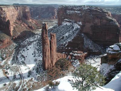
Spider Rock Overlook
The last stop on Canyon de Chelly's South Rim Drive, above a 750-foot sandstone spire
Quick Facts
Book your stay
Elsewhere in Arizona
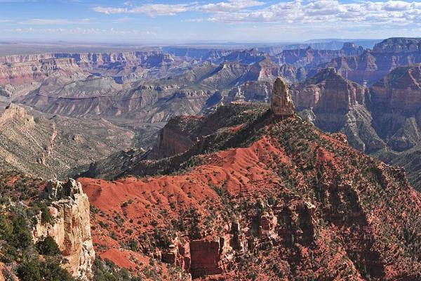
Grand Canyon & Kaibab Plateau
The South Rim and its gateway town, the forested plateau above the North Rim, and the Havasupai village at the bottom of a side canyon
Sedona & Verde Valley
Red rock buttes, Sinagua cliff dwellings, a copper town on a hillside and Arizona's first capital
Phoenix & Superstition Mountains
Desert museums, Taliesin West, the Superstition front and Rim Country below the Mogollon Rim