
Vermilion Cliffs National Monument
280,000 acres of cliffs, slot canyons and the permit-only Coyote Buttes, with condors overhead
- Admission
- No entrance fee is listed by the BLM
- Permits are required for Coyote Buttes North (The Wave), Coyote Buttes South and overnight trips in Paria Canyon (BLM, checked November 2026)
- Where
- Marble Canyon, Page & Monument Valley
- Directions
- Directions
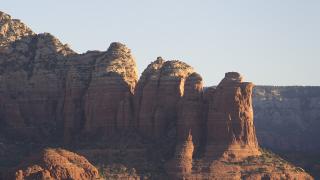
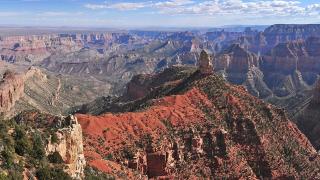
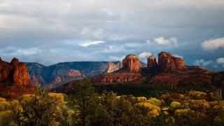
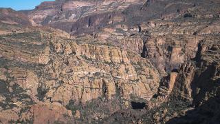
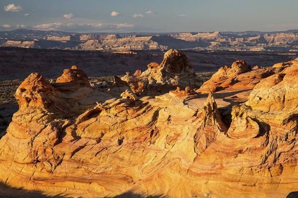
Vermilion Cliffs National Monument covers 280,000 acres of public land in far northern Arizona, along the Utah state line. It was created on November 9, 2000, and the Bureau of Land Management runs it. It takes in the Paria Plateau, the Vermilion Cliffs themselves, Coyote Buttes and Paria Canyon. To the east it borders Glen Canyon National Recreation Area, and to the west Kaibab National Forest. Elevations run from 3,100 to 7,100 feet. The cliffs rise as much as 3,000 feet above their bases. Seen from US 89A near Marble Canyon, they form a long red wall.
This is remote country, and the BLM is direct about it. There are no paved roads inside the monument and no visitor centers. House Rock Valley Road (BLM 1065) is maintained dirt but can be impassable when wet. Most other roads need a high-clearance four-wheel-drive vehicle because of deep sand. The BLM lists rugged, unmarked roads, venomous reptiles and invertebrates, extreme heat or cold, deep sand and flash floods as hazards. Bring a full-size spare tire and plenty of water, food and gasoline. Visitor maps are available online and at the Paria Contact Station, the BLM Kanab Visitor Center and the Interagency Public Lands Center in St. George, Utah.
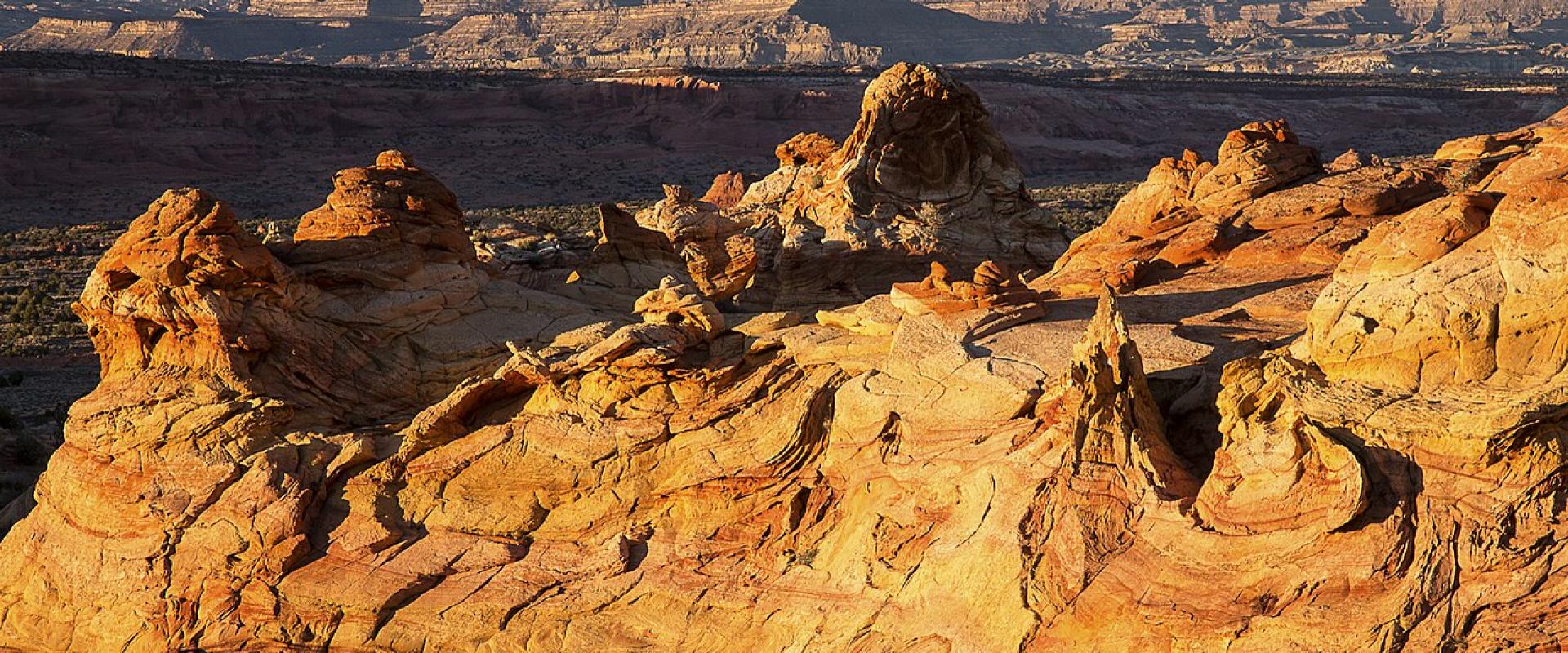
The best-known places need permits. Coyote Buttes North, home of the sandstone formation known as The Wave, and Coyote Buttes South both need a permit to hike. So do overnight trips in Paria Canyon, which the BLM describes as a three- to five-day wilderness backpacking trip. The canyon ends at Lees Ferry. Apply through the BLM's permit pages well ahead of time.
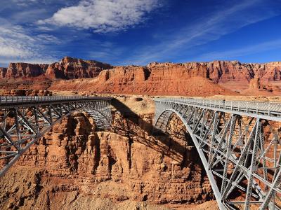
Wildlife is the other draw. The monument is home to a growing number of endangered California condors. The BLM says condors raised in a captive breeding program are released here each year, and Wikipedia dates the start of the reintroduction to 1996. You may see them from the monument's roads or at Navajo Bridge, where they often roost. Wikipedia adds that desert bighorn sheep, pronghorn and mountain lions live here.
There are no campgrounds inside the monument. The BLM lists two developed campgrounds just outside, Stateline and White House. Dispersed camping is allowed outside the wilderness area, in places that have already been disturbed. To reach the monument from Flagstaff, drive north on US 89 to the US 89A turnoff at Bitter Springs. From Kanab, Utah, take US 89 east, or US 89A south through Fredonia and Jacob Lake.
Categories
More photos coming soon
Admission Fees
- Admission
- No entrance fee is listed by the BLM; permits are required for Coyote Buttes North (The Wave), Coyote Buttes South and overnight trips in Paria Canyon (BLM, checked November 2026).
Hours and prices change, especially out of season. Check with the venue before you go.
Nearby Attractions
Other places to visit in Marble Canyon
Questions people ask
Quick Facts
No entrance fee is listed by the BLM
Permits are required for Coyote Buttes North (The Wave), Coyote Buttes South and overnight trips in Paria Canyon (BLM, checked November 2026).
Best Time to Visit
Spring and fall. The trails at Lees Ferry have little shade, and the Park Service advises against hiking them in summer heat. Roads in the Vermilion Cliffs can be impassable when wet.