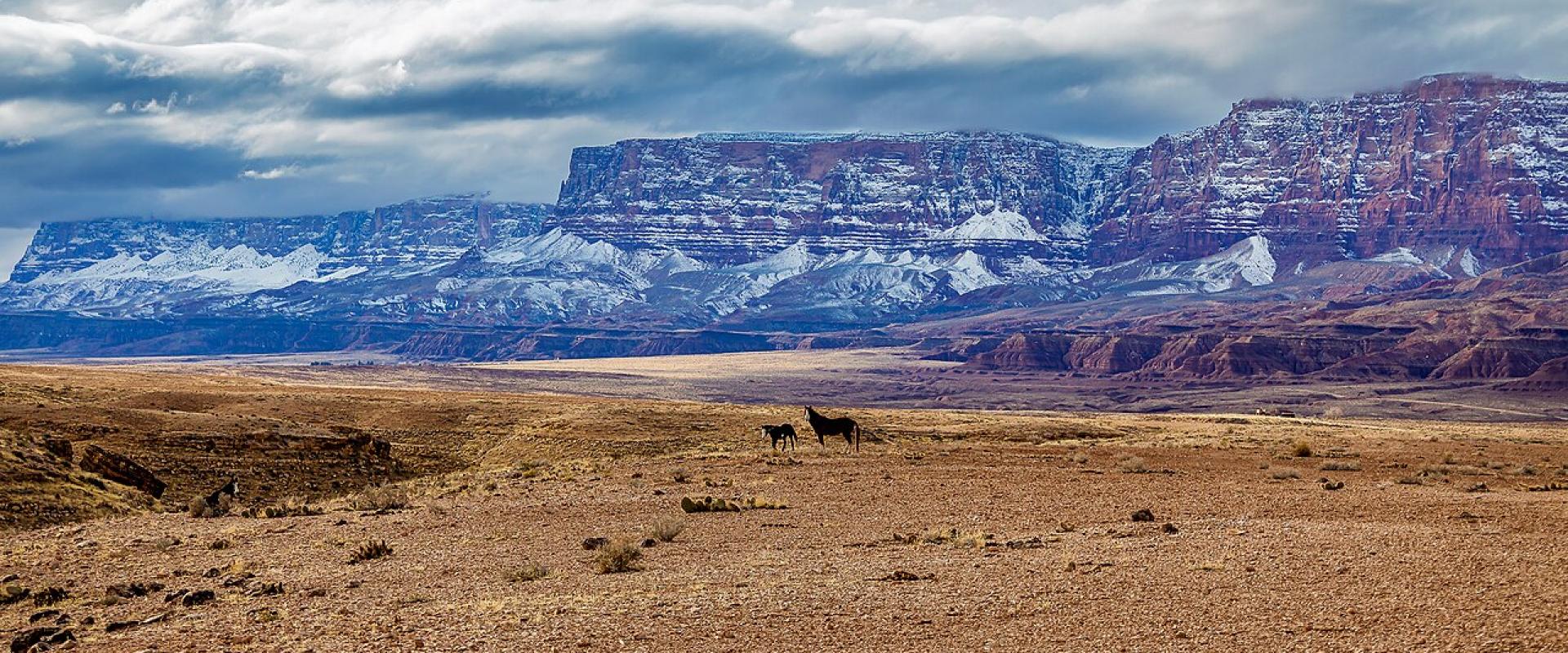
Marble Canyon
A roadside hamlet at Navajo Bridge, beside Lees Ferry and below the Vermilion Cliffs
History This was one of the few places for hundreds of miles where a wagon could reach the Colorado River from both sides. John D. Lee came to the crossing in 1870 to set up a ferry for Mormon settlers heading south into Arizona, and the ferry formally began in January 1873. Lee was a fugitive. He had taken part in the 1857 Mountain Meadows Massacre, and he was arrested, tried and executed at Mountain Meadows on March 23, 1877. The ferry kept running under other operators until 1928. That June the ferryboat sank while carrying materials for a new bridge five miles downstream, and three men died. For the next months travelers had to drive around the canyon, a detour the Park Service puts at 800 miles. The bridge opened on January 12, 1929. At the time it was the highest steel arch bridge in the world.
What to See Start at the Navajo Bridge Interpretive Center, on the west side of the river. It is open all year. You can walk across the 1929 bridge, now closed to cars, and look down on the river and across at the 1995 bridge that replaced it. Watch the steelwork and ledges for California condors. The birds are released in the nearby Vermilion Cliffs and often roost at the bridge.
The Lees Ferry road starts just west of the bridge. At the end of it are the historic ferry crossing, the stone buildings and boiler left from Charles H. Spencer's failed gold-mining venture of 1910, and Lonely Dell Ranch, where the ferry families grew their own food. The ranch has an orchard where you can pick fruit for your own use. The River Trail is about 2 miles round trip, while the Spencer Trail climbs more than 1,500 feet up the cliffs. Lees Ferry is also where anglers come for trout on the cold river below the dam.
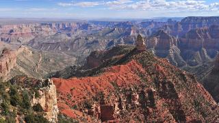
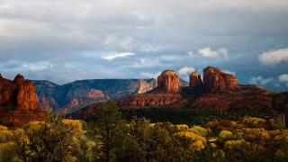
The Vermilion Cliffs The cliffs north and west of the community are part of Vermilion Cliffs National Monument. This is 280,000 acres of plateau, canyon and sandstone, including Coyote Buttes, home of the formation known as The Wave. The monument has no paved roads and no visitor center. Most of its roads need a high-clearance four-wheel-drive vehicle. Hikes at Coyote Buttes North and South and overnight trips in Paria Canyon need permits.
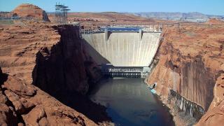
On the River The 16 miles of river between Glen Canyon Dam and Lees Ferry are calm, cold and clear. Anglers fish for trout, and kayakers paddle upstream and float back, or hire a backhaul boat to carry them up. Every group taking a boat or kayak on this stretch needs a Lees Ferry backcountry permit. It is free, and you get it from the self-service kiosks near the launch area. Everyone in a hand-propelled craft must wear a life jacket. Boats may not go past the buoys about a quarter mile below the dam. If you'd rather not paddle, the Park Service lists a smooth-water raft trip from Lees Ferry up to Horseshoe Bend and back.
Fees Lees Ferry is inside Glen Canyon National Recreation Area, which has an entrance station on the Lees Ferry road. The private-vehicle pass costs $30 for seven days, and the stations take cards only.
Getting There From Page, take US 89 south and US 89A west, about 42 miles. The North Rim of the Grand Canyon is 85 miles west and south via US 89A and State Route 67. Check the North Rim's current status with the Park Service before you go.
Best time to visit
Spring and fall. The trails at Lees Ferry have little shade, and the Park Service advises against hiking them in summer heat. Roads in the Vermilion Cliffs can be impassable when wet.
What to see in Marble Canyon
Our picks first.
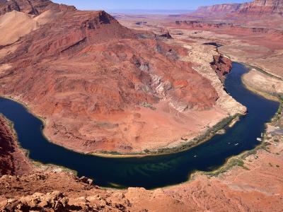
Lees Ferry
The old Colorado River crossing where Grand Canyon river trips begin, with a pioneer ranch nearby
From $30 Historic Sites · Outdoor Recreation
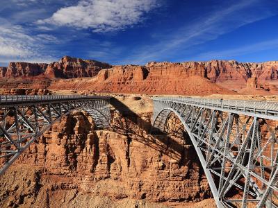
Navajo Bridge
Twin steel arches 467 feet above the Colorado River, the old one now open to walkers
Architectural Landmarks · Wildlife Viewing
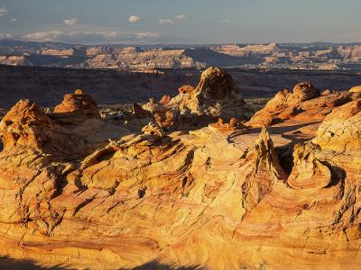
Vermilion Cliffs National Monument
280,000 acres of cliffs, slot canyons and the permit-only Coyote Buttes, with condors overhead
Natural Wonders · Wildlife Viewing
Marble Canyon by interest
The same sights, grouped by what you came for.
Did you know?
Checked facts about Marble Canyon, each with its source.
-
History
The Lees Ferry boat sank months before the bridge opened
On June 7, 1928, while Navajo Bridge was still under construction, the ferry at Lees Ferry sank in an accident that killed three men. The bridge opened about seven months later, in January 1929.
Source: National Park Service -
Trivia
Released condors gather at Navajo Bridge
Six captive-reared California condors were released at the nearby Vermilion Cliffs in 1996. Condors tend to gather around Navajo Bridge, close to that original release site.
Source: National Park Service -
Record
Navajo Bridge opened as America's highest steel arch bridge
When the original Navajo Bridge opened to traffic on January 12, 1929, 467 feet above the Colorado River, it was the highest steel arch bridge in the United States; the National Park Service goes further and calls it the highest in the world at the time. A new bridge took over traffic on May 2, 1995, and the old span is now a footbridge.
Source: National Park Service
Planning a visit to Marble Canyon
Good to know
- Currency
- USD
- Language
- English
Quick Facts
Book your stay
Questions people ask
More places in Page & Monument Valley
Page & Monument Valley
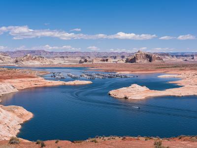
Page
Dam town on Manson Mesa, gateway to Lake Powell, Horseshoe Bend and Antelope Canyon
Page & Monument Valley
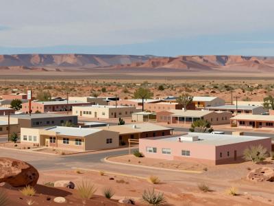
Kayenta
Navajo Nation township at the junction for Monument Valley and Navajo National Monument
Page & Monument Valley
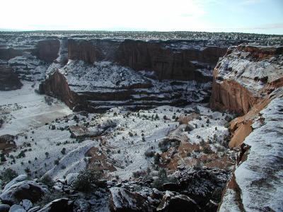
Chinle
Navajo town at the mouth of Canyon de Chelly, where families still farm the canyon floor
Page & Monument Valley
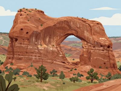
Window Rock
Capital of the Navajo Nation, named for a sandstone arch above the council chamber