
Phone coverage in Arizona is good in the cities and along the interstates, and patchy to absent in many of the places people come to see. This guide sticks to what the parks and tribes themselves say about signal at their sites, and how to plan around the gaps.
The short version: download maps and tickets before you leave town, tell someone your route, and don't count on a phone for navigation or emergencies on tribal land or in the backcountry.
What the official sources say
| Place | What the managing agency says |
|---|---|
| Navajo Nation (Monument Valley, Canyon de Chelly, Navajo NM) | "GPS and cell phone services are unreliable throughout the Navajo Nation." NPS warns that some unpaved roads can leave you stranded without cell phone signal. |
| Canyon de Chelly | "Do not rely on GPS or cell phone services." |
| Havasupai Reservation (Havasu Falls) | Most of it has no reliable Wi-Fi or cell reception, "even the campground and lodge areas"; the road to Hualapai Hilltop also has unreliable reception. |
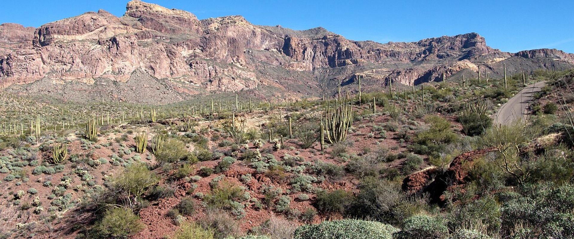
| Organ Pipe Cactus NM | Cell service "may be spotty"; cell service and public Wi-Fi are available 24 hours at the visitor center. |
| Saguaro NP | Public Wi-Fi at both visitor centers, but "cell coverage throughout the park will be spotty". In the Rincon Mountain backcountry, phones work in much of the wilderness; if not, try a high point facing Tucson or Benson. |
| Tonto Natural Bridge State Park | No public telephone, cell signal or internet in the park. |
| Fossil Creek | Poor to no cell reception (Recreation.gov permit page). |
| Grand Canyon inner canyon | NPS says self-rescue is required and help may not be available; it tells hikers not to rely on a phone as a flashlight. |
The reservation covers more than 25,000 square miles, and NPS's directions for both Navajo National Monument and Canyon de Chelly carry the same warning that GPS and phones are unreliable. Both parks tell visitors to use only the recommended route and stay on paved roads. For Navajo National Monument that means US 160 and AZ 564, not Indian Route 221 from the west, an unpaved local road that can be impassable for cars and RVs. For Canyon de Chelly it means Route 7 from Highway 191 in Chinle, not Route 7 from the east, which is unpaved and unmaintained between Sawmill and the Spider Rock turnoff.
Two more things to know:
- Time: from March to November the Navajo Nation runs an hour ahead of the rest of Arizona. Check the time on any tour booking.
- Emergencies: Navajo Parks and Recreation says rescue is not readily available on remote trails, and that most hiker deaths involve people hiking alone. Its emergency numbers are listed below.
Havasupai
The tribe tells visitors: "Do not expect to have WIFI or cellular reception during your visit." The campground has no electricity, so bring a battery pack or solar charger and keep your phone in airplane mode to save power. Fill up before Indian Road 18: the nearest fuel is 70 to 90 miles from the trailhead, and the tribe says to have enough for at least 200 miles of driving.
The tribe broke ground on a broadband project in August 2026, funded through the federal Tribal Broadband Connectivity Program. It has not published a completion date.
Grand Canyon
NPS's advice for the inner canyon is to be self-sufficient, since help may be delayed, and to carry a flashlight and spare batteries rather than relying on a phone's light. The NPS app lets you download the park's maps and content for offline use, which NPS recommends for remote areas or if you are worried about data limits.
Southern Arizona
At Organ Pipe Cactus, the visitor center is the reliable place for signal and Wi-Fi. The monument borders Mexico; NPS asks anyone who sees suspicious activity or people in distress to keep their distance and call 911. At Saguaro, both visitor centers have Wi-Fi.
Navajo Parks and Recreation lists these numbers for hikers. Dial 911 first if you have signal.
| Service | Number |
|---|---|
| Coconino County Sheriff | 1-800-338-7888 |
| Arizona State Patrol | 1-800-525-5555 |
| Navajo Nation Ranger Headquarters | 928-871-6701 |
| Navajo Nation police, Window Rock district | 928-871-7544 |
| Navajo Nation police, Tuba City district | 928-283-3111 |
| Navajo Nation police, Kayenta district | 928-697-5600 |
| Navajo Nation police, Chinle district | 928-674-2111 |
Getting weather and road alerts
- NWS advises knowing how you will receive a warning: a phone alert, social media or a weather radio. Where there is no signal, a phone will not get flash flood alerts, so check the forecast before you go into a canyon or wash.
- Arizona roads: az511.gov or 1-888-411-7623 before you set out.
- Grand Canyon roads: 928-638-7496.
Before you go
- Download offline maps for the whole route, plus the NPS app content for each park.
- Save tickets, permits and confirmations as screenshots or PDFs.
- Leave your route and return time with someone.
- Carry a paper map on the Navajo Nation and on any dirt road.
- Charge a battery pack each night.
- Keep the fuel tank full; the Grand Canyon's safety page warns that the next gas station may be a long way off.
Details checked 6 November 2026.