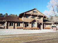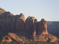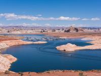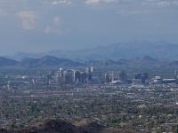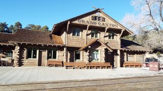
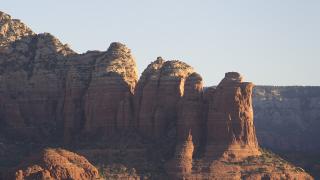
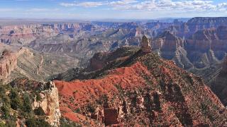
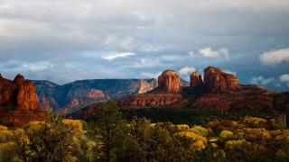
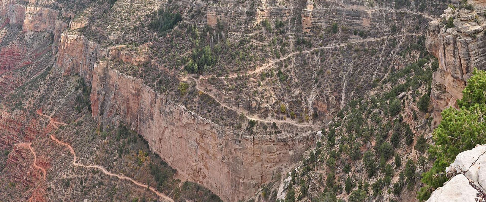
Arizona hiking in late 2026 comes with more fine print than usual. Two flash floods in Grand Canyon's Bright Angel Creek, the first on August 29, closed Phantom Ranch, both river bridges and the whole North Kaibab Trail. Then on November 1 heavy rain flooded Oak Creek at Sedona and closed State Route 89A through Oak Creek Canyon. Most other trails are open. Heat rules apply from spring to autumn.
This guide covers what is open, what needs a permit and which rules to read before a hike. Every status here comes from the managing agency's own page in early November 2026.
Grand Canyon corridor trails: status in November 2026
The National Park Service reopened several inner-canyon trails on October 26. Its Key Hiking Messages page, updated October 27, lists:
| Trail or area | Status |
|---|---|
| Bright Angel Trail, trailhead to River Resthouse | Open. Mile-and-a-Half Resthouse to Havasupai Gardens is open to hikers only (no stock), with short repair closures |
| South Kaibab Trail, trailhead to the Black Bridge | Open |
| River Trail, River Resthouse to South Kaibab | Open |
| Plateau Point Trail; Tonto Trail from the Tipoff to Havasupai Gardens | Open |
| Black Bridge and Silver Bridge | Closed, no reopening date |
| Phantom Ranch (cabins, canteen, Bright Angel Campground) | Closed through at least January 31, 2027 |
| North Kaibab Trail, including Cottonwood Campground | Closed, no reopening date |
With both bridges and the North Kaibab closed, nobody can cross the river on foot, so rim-to-rim hikes cannot be done this winter. The park says anyone who enters a closed area may be cited.
Water. All water in the inner canyon is off. The park says water will stay off at Mile-and-a-Half Resthouse, Three-Mile Resthouse and Havasupai Gardens for the rest of the winter. Drinking water is available only from tanks at the Bright Angel and South Kaibab trailheads. Carry all the water you need, plus a filter or treatment, even on a short hike.
Rescue. NPS says emergency response in the inner canyon may be delayed and rescue is not guaranteed. It rescues more than 300 people from the canyon each year.
Day hikes from the South Rim
No permit is needed for a day hike, even one at night. NPS has one firm rule: "Do not attempt to hike from the rim to the river and back in one day," especially from May to September.
- Rim Trail: runs from the village to Hermits Rest, partly paved and accessible. There's no water west of Bright Angel Lodge. You can walk a section and take a free shuttle back.
- Bright Angel Trail: starts just west of Bright Angel Lodge. Day hikes go up to 12 miles round trip, with some shade. The upper part can be very icy in winter and early spring.
- South Kaibab Trail: starts south of Yaki Point. Private cars can't drive there, so take the Kaibab Rim (Orange) shuttle; the Hikers' Express leaves Bright Angel Lodge at 6, 7 and 8 a.m. Day hikes go up to 6 miles round trip. NPS calls it the best view for a short hike, but it is steep, with no water and little shade.
- Hermit and Grandview trails: these are unmaintained and harder than the main corridor trails. NPS says they are for experienced desert hikers only.
The free shuttles run on a fall schedule until November 30, 2026. NPS lists the Backcountry Information Center, near Maswik Lodge, as open 8 a.m. to 5 p.m. daily, closed noon to 1 p.m.
The North Rim until November 30
The North Rim is open for day use until November 30, 2026, or the first major snowstorm if earlier. There are no services: the campground, store and gas station are closed. On the North Rim status page, only the Bridle Trail and part of the Arizona Trail are listed as open. Bright Angel Point, Widforss, Transept, Uncle Jim, Ken Patrick, Cape Royal, Cape Final, Roosevelt Point and Point Imperial trails are all listed as closed.
Grand Canyon backcountry permits
You need a backcountry permit to camp anywhere in the park outside Mather, Desert View and North Rim campgrounds. Permits are booked on Recreation.gov.
- Cost: $10 per permit or lottery application, plus $15 per person per night below the rim or $4 per person per night above the rim. The $10 is non-refundable. Nightly charges are refundable until 30 days before the start date. Entrance fees are separate.
- Early access lottery: applications open on the 16th of the month and close at 5 p.m. MST on the 1st, four months before the start month. For a March 2027 trip, apply October 16 to November 1. For April, apply November 16 to December 1. Up to 750 applicants get a time slot to book.
- General booking: whatever is left opens to everyone at 8 a.m. MST on the 1st of the following month.
- On the trail: carry the printed permit. At camp, attach it to your pack or tent where rangers can see it.
The Backcountry Information Center does not book Phantom Ranch, river trips, mule trips or hikes on the Havasupai Reservation. Havasupai Tourism Enterprise handles Havasu Canyon. After the floods, the park says last-minute permits for Havasupai Gardens are not guaranteed.
Entrance: $35 per vehicle, $30 per motorcycle or $20 per person on foot or bike, valid seven days. Non-US residents aged 16 and over pay another $100 each unless they enter with an annual pass. The park takes cards only, no cash.
Heat rules
Arizona's heat kills hikers every summer. Two official rules matter most.
Grand Canyon: NPS urges caution from May through September. Inner-canyon temperatures can go above 110°F (43°C), and the park says not to hike between 10 a.m. and 4 p.m. Most of the people who need emergency care for heat illness are hiking in those hours. Temperatures rise about 5.5°F for every 1,000 feet you go down. Eat salty food, and drink when you are thirsty rather than forcing fluids. NPS warns that drinking too much water can cause hyponatremia.
Phoenix: On days when the National Weather Service issues an Extreme Heat Warning, the city closes these trails from 8 a.m. to 5 p.m.:
- Echo Canyon and Cholla trails on Camelback Mountain
- the Piestewa Peak Summit Trail and the trails linked to it
- the Holbert, Mormon and Hau'pal Loop trails at South Mountain Park/Preserve, plus access to the National Trail from Pima Canyon Trailhead
In 2024 heat closures applied on 45 days. The city rescues more than 200 hikers a year from its desert parks.
Monsoon: The NWS dates the monsoon from June 15 to September 30. Moisture usually reaches northern Arizona in the first week of July. NWS calls flash flooding the biggest monsoon threat to hikers, including in slot canyons and swimming holes. Lightning is the other danger.
Sedona
After the November 1 flood, Visit Sedona reported on November 3 that SR 89A was still closed between Sedona and Kachina Village, with no reopening estimate. On November 6, 2026, ADOT reopened SR 89A from Sedona as far as Slide Rock State Park, but the highway north of the park to the Oak Creek Vista overlook stays closed with no reopening estimate, so there is still no through route to Flagstaff. Access to Crescent Moon and Grasshopper Point was restricted or unconfirmed, and Arizona State Parks said Slide Rock State Park would reopen on November 7, 2026. People were told to stay out of Oak Creek because of flood hazards and reported sewage contamination. Check Arizona 511 and the Forest Service before you go.
Most popular trailheads are on Coconino National Forest land and need a Red Rock Pass (or an America the Beautiful pass). The pass is required at 19 day-use sites, including Cathedral Rock, Bell Rock and Doe Mountain. Prices are $5 a day, $15 a week or $20 a year. Buy one at the trailhead kiosk or on Recreation.gov, where you enter your licence plate. A stop of about 15 minutes for a photo needs no pass.
Flagstaff
Walnut Canyon National Monument, outside Flagstaff, has two trails. The Island Trail is a strenuous 0.9-mile round trip with 736 stairs down to the cliff dwellings, and it closes at 4 p.m. The Rim Trail is a paved, fairly flat 0.7-mile round trip that closes at 4:30 p.m.
At Sunset Crater Volcano, NPS warns that the monument is above 7,000 feet and the weather can change quickly, so dress in layers. The Lenox Crater Trail climbs a neighbouring cinder cone, a moderately strenuous 1.6-mile round trip. Fire damage from 2022 closed it, but the monument's trail page no longer lists it as closed; check the alerts before you go.
Tucson
Saguaro National Park lies on both sides of the city. One entrance pass covers both districts for seven days: $25 per vehicle, $20 per motorcycle or $15 per person. NPS suggests:
- Rincon Mountain District (east): the 1-mile Freeman Homestead Trail, past old homestead foundations and large saguaros, and the 3.8-mile Loma Verde Loop.
- Tucson Mountain District (west): the 2.4-mile King Canyon and Gould Mine Loop, or the Sendero Esperanza Trail to the ridge and on to Wasson Peak, which at 4,687 feet is the highest point in the district. That's 3.4 to 8 miles round trip.
NPS also warns that tick-borne spotted fever occurs in Arizona.
Before you go
- Check the Grand Canyon Key Hiking Messages page the day before. Closures change with little notice.
- Carry all your water at the Grand Canyon this winter.
- Start Phoenix and inner-canyon hikes at dawn from May to September.
- Check Arizona 511 before driving to Sedona from Flagstaff.
- Buy a Red Rock Pass before parking at a Sedona trailhead.
Details checked November 6, 2026.