Jacob Lake
The crossroads on the Kaibab Plateau: the last fuel and food before the North Rim, which closes every winter
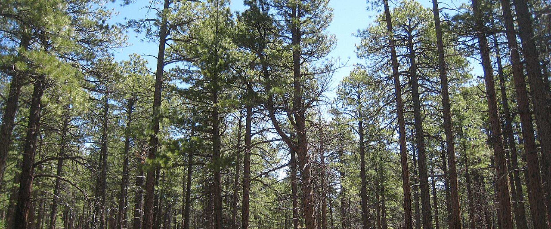
The Kaibab Plateau The Kaibab Plateau was lifted well above the surrounding desert: Fredonia, 28 miles away, is at nearly 4,700 feet, more than 3,000 feet lower than Jacob Lake. The plateau is covered by the Kaibab National Forest, with ponderosa pine around Jacob Lake and spruce-fir forest toward the North Rim. It is home to the tassel-eared Kaibab squirrel, which the Forest Service notes is found nowhere else. Several feet of snow cover the plateau in winter. The Kaibab Band of Paiute Indians' reservation lies to the west, around Pipe Spring National Monument.
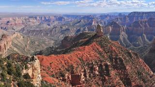
What to See From Jacob Lake, State Route 67 runs south through the forest to the North Rim. There, two paved scenic roads branch east: one to Point Imperial, at 8,803 feet the highest point on the rim of the Grand Canyon, and one to Cape Royal, the southernmost viewpoint you can drive to on the North Rim. Both roads were closed for repairs from October 15, 2026 and, as of November 2026, have been open again since November 3. Vehicles and vehicle-trailer combinations over 22 feet are not allowed on either.
Pipe Spring National Monument is in the other direction, about 44 road miles and an hour west by way of Fredonia. It preserves a spring the Kaibab Paiute relied on and a stone fort built by Latter-day Saint ranchers in 1870 to 1872. Unlike the North Rim, it is open all year.
Close to the crossroads, the Forest Service lists a one-mile loop trail from the campground, and the Kaibab Plateau section of the Arizona Trail is about a 10-minute drive away.
The North Rim in November 2026 As of November 2026, the North Rim has been rebuilding since the Dragon Bravo Fire, started by lightning on July 4, 2025, destroyed the Grand Canyon Lodge, the North Rim Visitor Center and many historic cabins. For 2026 the park ran it as a limited, self-sufficient day-use area. There is no drinking water on the North Rim. The North Rim gas station closed on September 19, and the General Store and campground closed on October 15 and 16, so visitors are told to carry food, water, fuel and emergency supplies; fuel is available at Jacob Lake. Several rim trails remained closed after the fire, including the Bright Angel Point, Widforss and Transept trails, and the whole North Kaibab Trail has been closed since the August 29, 2026 flash flood, with no reopening date. Stage 2 fire restrictions stay in effect on the North Rim for the rest of 2026. NPS expects services to return gradually in 2027, 2028 and later seasons.
Getting There Jacob Lake is on US 89A about 30 miles southeast of Fredonia. From the South Rim it is a long loop: east out of the park to Cameron, north on US 89, then west on US 89A across the Colorado River at Navajo Bridge, which NPS says is the only place to cross the river by car. For road conditions, NPS lists Arizona Highway Information at 1-888-411-ROAD (7623).
Best time to visit
Mid-May to mid-October, when State Route 67 and the North Rim are normally open. The road to the North Rim closes every winter from December 1 to May 14. Pipe Spring National Monument, an hour west, is open year-round.
What to see in Jacob Lake
Our picks first.
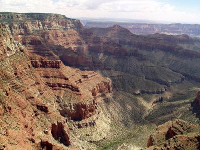
Cape Royal
The southernmost North Rim viewpoint you can drive to, with a 270-degree view and the arch of Angels Window
From $30 National Parks · Natural Wonders
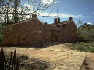
Pipe Spring National Monument
A desert spring, a sandstone fort built by Latter-day Saint ranchers, and the story of the Kaibab Paiute, open all year
From $3 Historic Sites · Historic Buildings
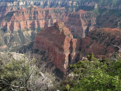
Point Imperial
At 8,803 feet, the highest point on the Grand Canyon's rim, looking east to the Painted Desert
From $30 National Parks · Natural Wonders
Jacob Lake by interest
The same sights, grouped by what you came for.
Did you know?
Checked facts about Jacob Lake, each with its source.
-
History
Jacob Lake Inn has served travelers since 1923
Jacob Lake Inn was founded in 1923 by the Bowman family to serve travelers heading for the Grand Canyon's North Rim. It stands at the entrance to Arizona Highway 67 toward the North Rim and has been in business for more than 100 years.
Source: Jacob Lake Inn -
History
Jacob Lake's fire lookout dates from 1934
The Jacob Lake Lookout Tower, beside the highway to the Grand Canyon, dates from 1934. It is listed on the National Register of Historic Places.
Source: National Park Service (National Register) -
Discovery
The white-tailed Kaibab squirrel evolved on this plateau
The Kaibab squirrel, with its white tail and chestnut-brown head, split from the Abert's squirrel about 10,000 years ago and evolved on its own on the Kaibab Plateau. Because it was confined there, squirrels were moved to Mt. Trumbull in 1972 as a backup population.
Source: National Park Service
Planning a visit to Jacob Lake
Good to know
- Currency
- USD
- Language
- English
Quick Facts
Book your stay
Questions people ask
More places in Grand Canyon & Kaibab Plateau
Grand Canyon & Kaibab Plateau
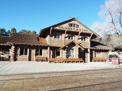
Grand Canyon Village
The South Rim's historic village, open all year, with lodging and water still limited after the 2026 flood
Grand Canyon & Kaibab Plateau
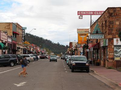
Williams
A pine-country Route 66 town on I-40, an hour from the South Rim and the starting point of the Grand Canyon Railway
Grand Canyon & Kaibab Plateau
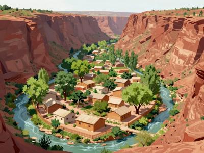
Supai
The Havasupai Tribe's village on the floor of Havasu Canyon, 8 miles by trail from the nearest road, open to visitors only with a tribal permit