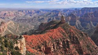
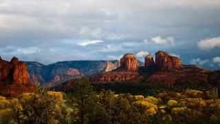
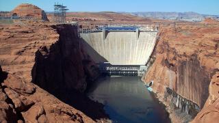
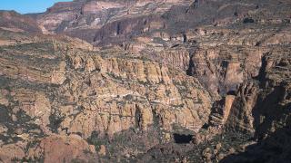
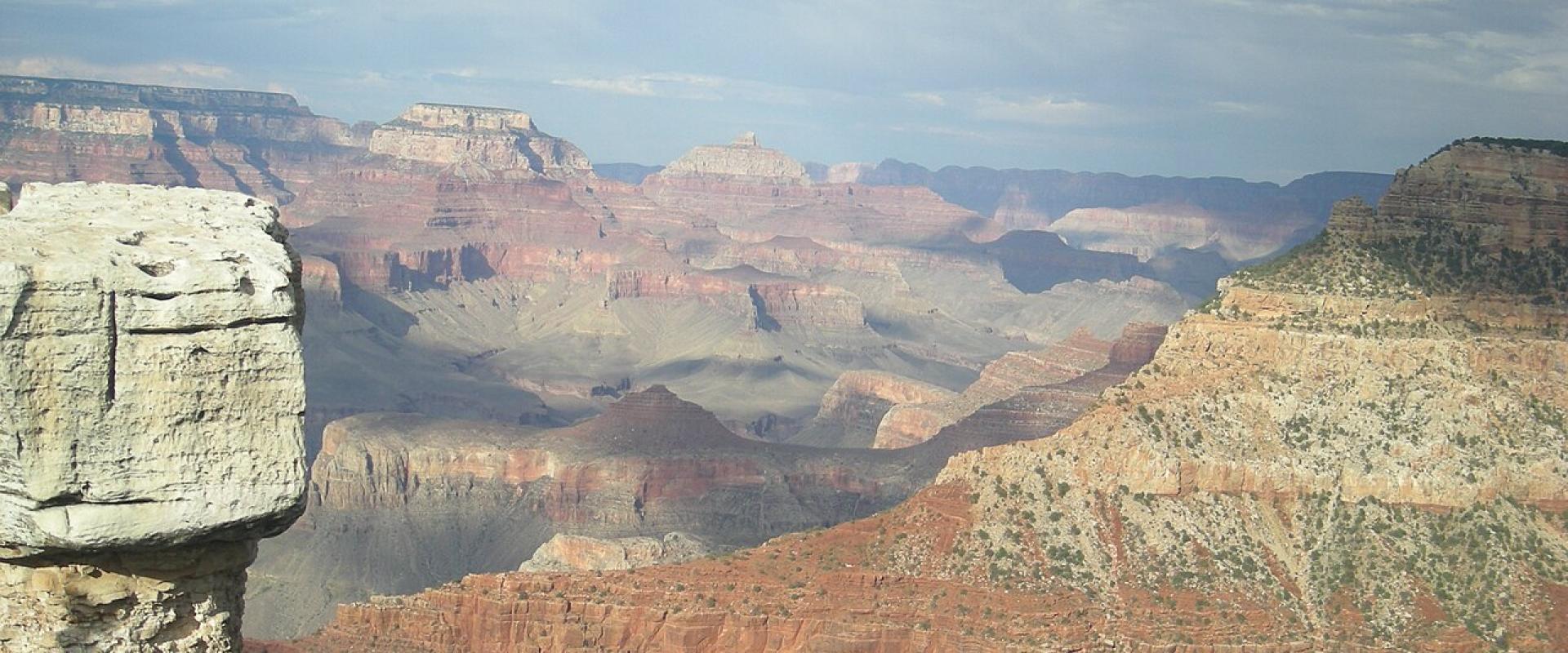
Arizona's scenery comes from two geological provinces. In the north is the Colorado Plateau, a high block of flat-lying rock cut by canyons. In the south and west is the Basin and Range, where the crust has stretched into rows of mountain ranges with flat desert valleys between them. Many of the state's best-known sights fit one of the two: the Grand Canyon, the sky island mountains of the southeast, the Sonoran Desert around Tucson, a 50,000-year-old meteor crater and a volcano that erupted around 1085 CE.
This guide explains each landscape using the National Park Service's own geology pages and the published figures of the sites themselves.
Two provinces
| Colorado Plateau | Basin and Range | |
|---|---|---|
| Where in Arizona | The north | The south and west |
| What it looks like | A relatively flat surface cut by steep-walled canyons | Isolated mountain ranges running the same way, separated by broad, flat basins |
| How it formed | Lifted high and relatively flat, with comparatively little deformation | Crust stretched by up to 100% of its original width, cracking into faults that raised ranges and dropped valleys |
| Places to see it | Grand Canyon, Monument Valley, Vermilion Cliffs | Chiricahua, Coronado National Memorial, Saguaro |
The Colorado Plateau covers northern Arizona, southern and eastern Utah, western Colorado and northwest New Mexico, according to NPS. The Basin and Range borders it on the west and south. NPS calls the plateau "remarkably stable." Little folding or faulting has affected it in about 600 million years, even though it rose as much as 3 kilometres in the last 20 million years. Its rock lies 5,000 to 13,000 feet above sea level. The Kaibab Limestone at the top of the Grand Canyon formed on an ocean floor, yet it now stands as high as 9,000 feet.
The Basin and Range stretches from western Texas and southern New Mexico through southern and western Arizona into Nevada, Utah, California and Idaho. NPS divides it into sections. The southern ones, including the Sonoran Desert and the Mexican Highland, have slightly lower mountains than the northern Great Basin. Material eroded from the ranges fills the basins, sometimes hundreds or even thousands of metres deep.
Where to see the boundary. In Grand Canyon-Parashant National Monument the line is the Grand Wash Fault. Its cliffs rise between 600 and about 1,700 metres. You can see Colorado Plateau woodland on top to the east and the Mojave Desert of the Basin and Range to the west.
The Grand Canyon: how it formed
NPS sums up the canyon's story with the word D-U-D-E: Deposition, Uplift, Downcutting and Erosion.
- Deposition. About 2 billion years ago the igneous and metamorphic rocks of the inner gorge formed. They were intensely metamorphosed about 1,750 million years ago. Layer after layer of sedimentary rock then built up on top. The Paleozoic layers, laid down between about 550 and 250 million years ago, are the most conspicuous in the walls, and together they are 2,400 to 5,000 feet thick.
- Uplift. Between 70 and 30 million years ago, plate tectonics raised the whole region into the high, flat Colorado Plateau. NPS links the uplift to the Laramide Orogeny, a mountain-building period. Scientists are still working out exactly how it happened.
- Downcutting. The Colorado River began carving down about 5 to 6 million years ago. It is steep for a river, dropping about 2,000 feet over its 277 miles through the canyon. During floods it carried boulders that cut into the bed like chisels.
- Erosion. Side streams widened the canyon, and they are still doing so. NPS says the canyon is getting wider much faster than it is getting deeper.
Reading the walls. NPS counts nearly 40 identified rock layers. Hard layers such as the Coconino Sandstone and Redwall Limestone form cliffs. Softer ones weather into slopes, such as the Bright Angel Shale of the Tonto Platform. The canyon is much younger than its rocks: even the top layer, the Kaibab Formation, is 270 million years old. Glaciers never reached the Grand Canyon.
Glen Canyon Dam has also changed the river. Before the dam, flow fell to 500–1,000 cubic feet per second in late summer and rose above 100,000 during the spring snowmelt. Today the dam controls the flow, and NPS gives an average of 12,000 to 15,000 cfs.
Meteor Crater
Meteor Crater formed about 50,000 years ago. The operator gives these figures:
- The impactor was an iron-nickel meteorite, or a dense cluster of them, about 150 feet across, weighing several hundred thousand tons and travelling at about 26,000 miles per hour.
- The explosion was greater than 20 million tons of TNT and threw out more than 175 million tons of limestone and sandstone.
- The new crater was 700 feet deep, more than 4,000 feet across and 2.4 miles around. Its floor is now 550 feet deep.
- Almost all the meteorite vaporised, melted or broke apart. No large mass lies buried under the floor.
Settlers once called it Coon Butte and thought it was an extinct volcano. In 1903 the mining engineer Daniel Moreau Barringer began 26 years of searching for a buried iron mass. He was right about the impact but wrong about the iron, which was never there.
Volcanoes near Flagstaff
Sunset Crater Volcano erupted around 1085 CE. NPS calls these "the only eruptions in the southwest that were indisputably witnessed by local people." The eruptions buried the land under several feet of cinders and filled two small valleys with lava a hundred feet deep. Sunset Crater is the youngest and least-eroded cinder cone in the San Francisco Volcanic Field, the site of the Colorado Plateau's most recent eruption. The monument protects 3,040 acres.
Sky islands
In the southeast, mountain ranges rise straight out of desert grassland. The Nature Conservancy calls them "sky islands." They sit where the Sierra Madre of Mexico, the Rocky Mountains and the Sonoran and Chihuahuan deserts meet, and the habitats change with height.
Chiricahua National Park is one of them. NPS describes the Chiricahua Mountains as an inactive volcanic range 20 miles wide and 40 miles long, part of the Mexican Highland section of the Basin and Range, rising to more than 9,000 feet. Its rock pinnacles are rhyolite, eroded from compacted ash from an ancient eruption just south of the park. The Apaches called it "The Land of Standing-Up Rocks." The park lies at the crossroads of four biogeographical regions, has more than 1,000 plant species, and became an International Dark Sky Park in 2021.
Madera Canyon in the Santa Rita Mountains climbs through pine-oak woodland to Mount Wrightson at 9,453 feet. Ramsey Canyon in the Huachucas averages 10 to 15 degrees cooler than Tucson.
The Sonoran Desert
NPS calls the Sonoran Desert, where Saguaro National Park lies, "the most biodiverse desert." It gives two main reasons: water, and the big height difference between the desert floor and the high mountains. The two districts of the park show this:
| District | Elevation | Biotic communities | Average rainfall |
|---|---|---|---|
| Rincon Mountain (east) | 2,670–8,666 ft | 6, from desert scrub to mixed conifer forest | about 12.3 in |
| Tucson Mountain (west) | 2,180–4,687 ft | 2, desert scrub and desert grassland | about 10.3 in |
NPS gives an average saguaro life span of 150 to 175 years, and some may live more than 200. They begin to flower at about 35 years old. Organ Pipe Cactus National Monument protects plants and animals adapted to extreme heat, intense sun and short, heavy rainy seasons.
The Painted Desert and Petrified Forest
Petrified Forest National Park lies inside the larger Painted Desert, which covers about 1,500 square miles. NPS points out that the park itself, more than 200,000 acres, is mostly short-grass prairie and semi-arid grassland, not desert. Its petrified trees grew in the Late Triassic.
Details checked November 6, 2026.